
CHARLOTTE, N.C. — Friday morning is a reminder that we are in January after all.
After a handful of days with well above normal temperatures, that trend ended Thursday.
High pressure will continue to build into the area Thursday night and
into Friday as it's center gradually migrates eastward across the Midwest
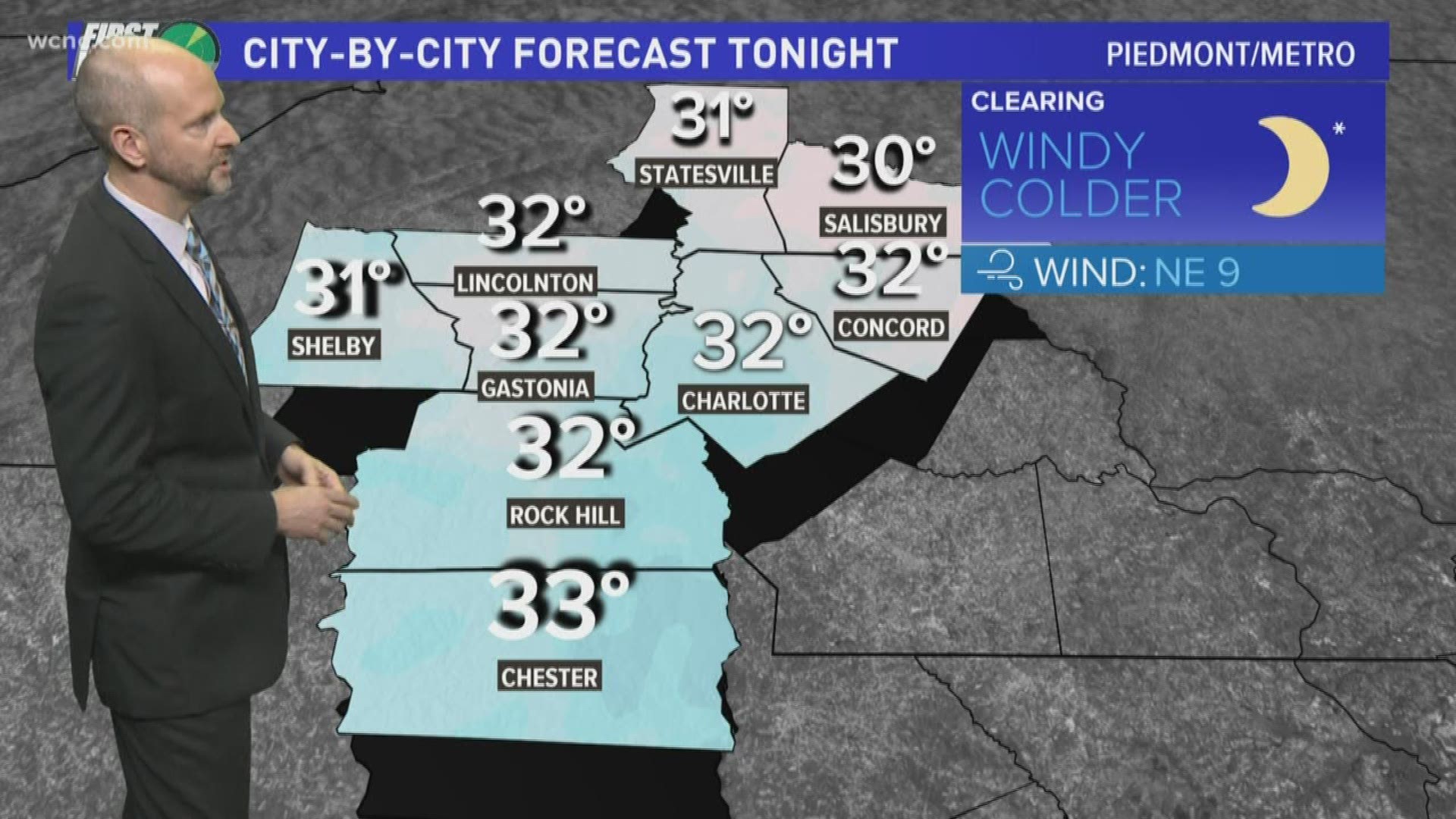
As a result, much cooler air will be ushered into Charlotte and the surrounding region. Friday's high temperature in Charlotte is expected to reach into the upper 40s. That's a 20 degree contrast to the previous days, where temperatures soared into the 60s in the afternoons.
"We may not crack 50 degrees for the first time in a long time," said WCNC Chief Meteorologist Brad Panovich.
"This is actually closer to where we should be this time of year," Panovich said.
Temperatures have been, on average, 12.5 degrees warmer than normal, according to Panovich.
Another system brings a chance of rain to Charlotte again Saturday.
Despite what you may have read elsewhere, there will be no snow in Charlotte Saturday.
"Maybe a brief shot of snow in the mountains," Panovich said," but no snow east of the mountains."
The cooler conditions will continue across the region late Sunday and linger through the middle of next week.
With no precipitation in the forecast for the first half of next week, and with no snow in the immediate forecast, the National Weather Service is telling snow lovers not to give up hope just yet.
More news from wcnc.com: