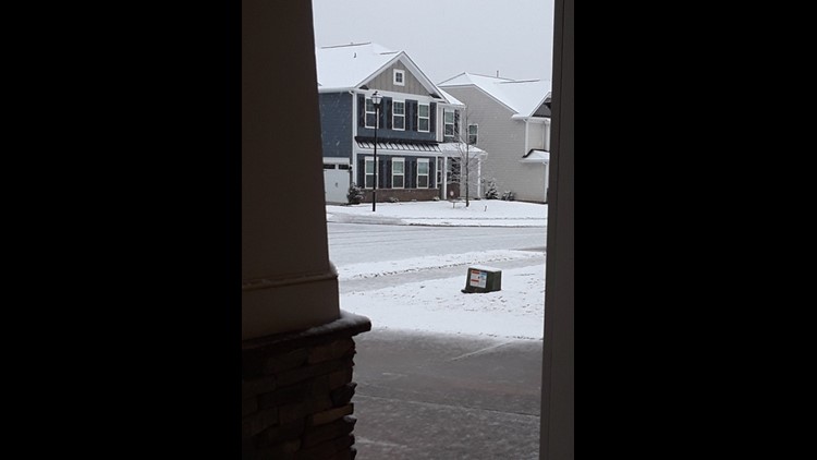
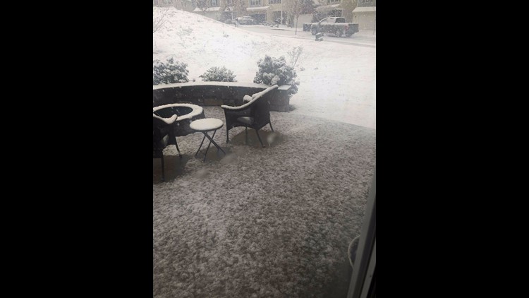
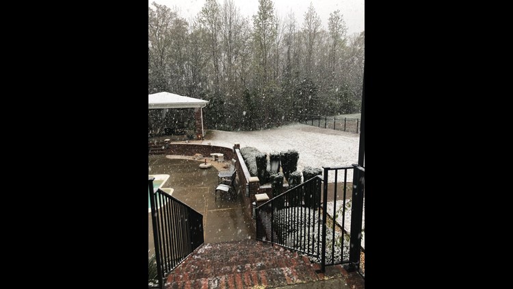
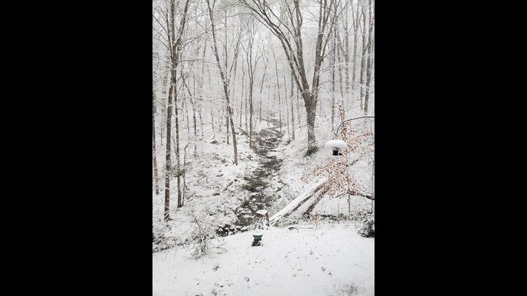
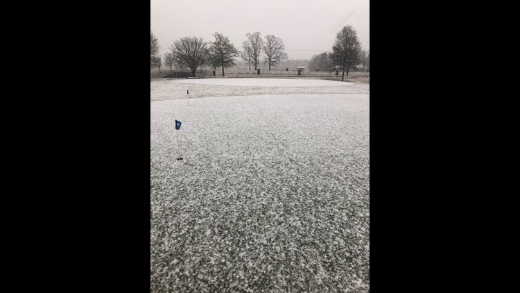
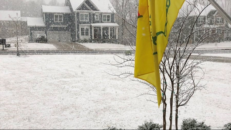
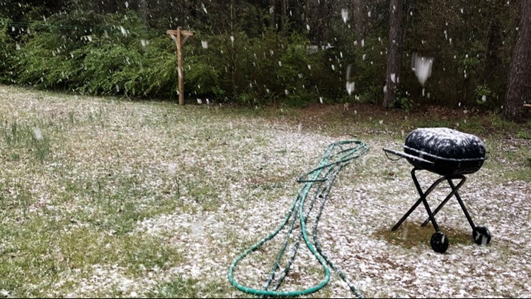
CHARLOTTE, N.C. — No, Brad Panovich wasn't joking when he said on April Fools' Day that it might snow in Charlotte.
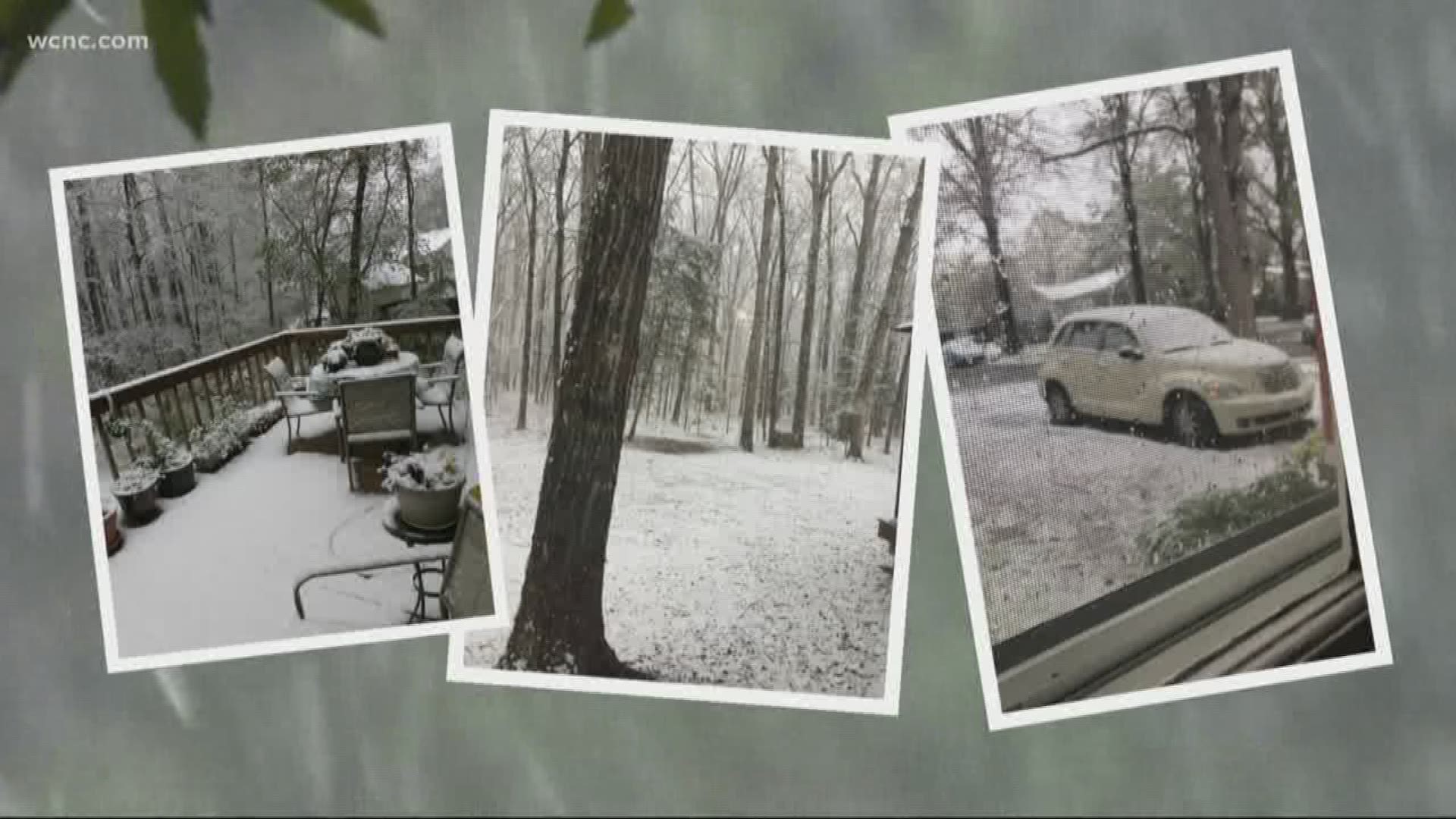
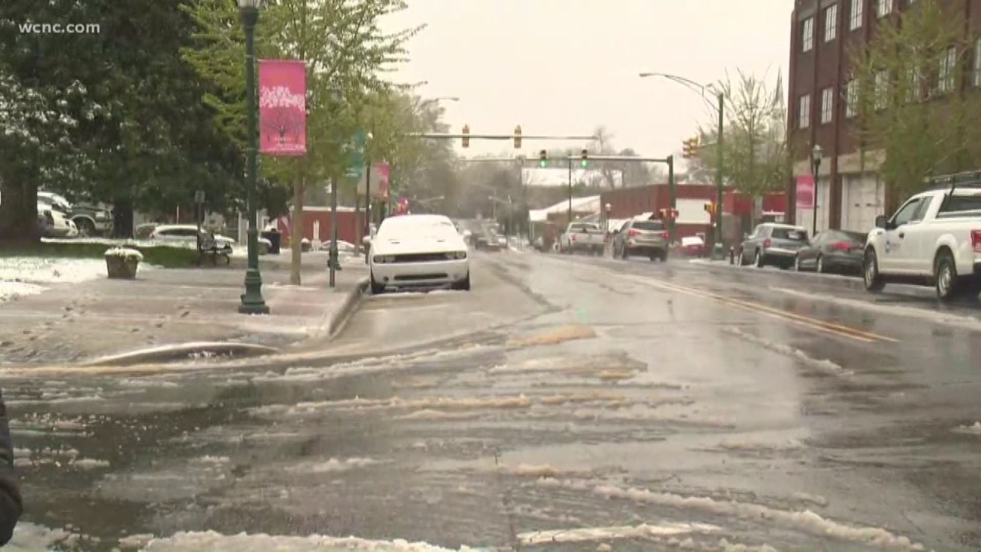
Well, it did. Panovich said the Queen City received its first measurable April snow since 1982 Tuesday. The showers were even heavier in areas south and east of Charlotte from around 7:30 a.m. until around 11.
Panovich said heavy rain would lead to snow showers later Tuesday morning after the first flurries were reported around 6:45 a.m.
"What we're seeing now is a big shield of mostly rain," Panovich said. "As the heavier precipitation begins to fall, we will begin to see a mix with snow."
Flurries were spotted in uptown Charlotte around 9:30, but the heavier precipitation was south and east of the city.
Panovich explained that the heavier rain is pulling cold air down from the atmosphere, making it possible for snow to reach the ground. But because the ground temperatures are well above freezing, the snow won't stick to the roads and shouldn't hang around long after the storm ends.
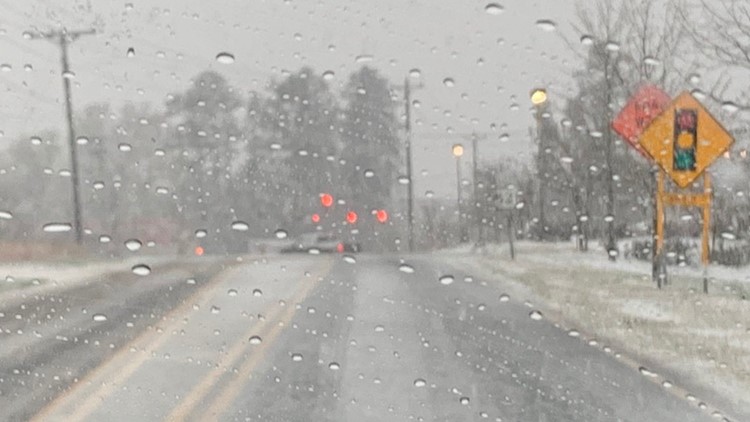
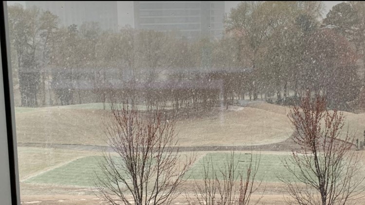
PHOTOS: April snow in the Charlotte area
Panovich said some of the models are indicating a narrow band that would see up to 2 inches of snow Tuesday. The storm's shift to the south and east is unusual for snow in the Charlotte area but he was quick to point out this isn't a normal setup.
"Through about 9, 10 or 11 a.m., the heaviest snow band will be just south and east of I-85, which is something that doesn't happen often in wintertime," Panovich said. "By noon, there could be some lingering snow in Union County toward Stanly and Anson counties then it's gone quickly."
Snow this late in the year isn't unprecedented for Charlotte. The latest snowfall on record in Charlotte came on May 2.

