
CHARLOTTE, N.C. — It's no secret that parts of Charlotte flood easily.
WCNC Charlotte has previously covered flooding in Little Sugar Creek and Addison Drive among other places in the Queen City. Not everyone recognizes the potential dangers of flooding in these high-risk areas, though.
A Charlotte artist sought out to change that.
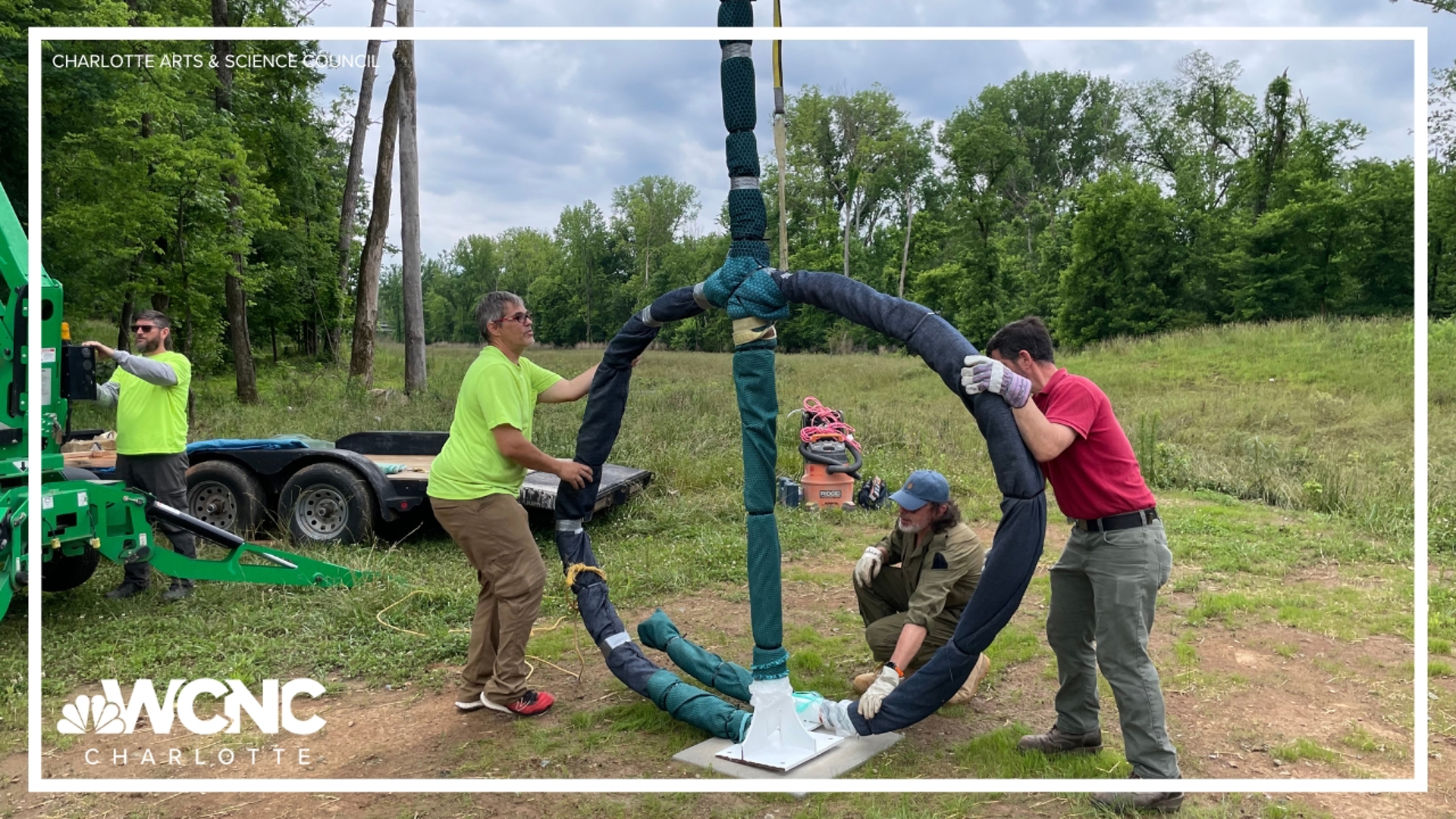
It started when John Wendel with Charlotte-Mecklenburg Storm Water Services approached the Arts & Science Council with the idea to create artistic flood markers, inspired by creative work in another city. Marek Ranis was chosen from a group of 12 regional artists to take on the project.
He has been creating art with a focus on climate change, flooding risks, and sea levels for roughly 20 years, according to ASC. Ranis, who is also a professor in the Art & Art History department at UNC Charlotte, told ASC he's worked on artistic projects about climate change around the world, but it's less frequent that he gets to create an educational piece like this in his own community.

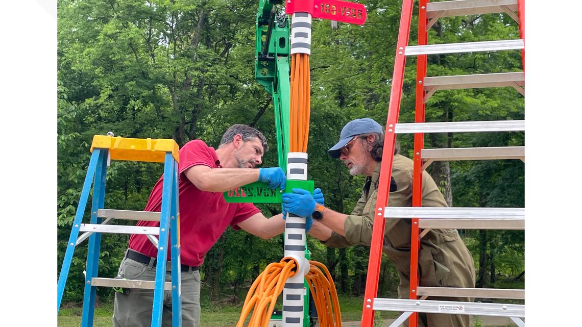
His sculpture, entitled "Diver, A Flood Marker," features a 12-foot snorkel design he told ASC was inspired by his experience scuba diving while working on another climate-related project. ASC described the choice as "a symbol of risk, survival and adaptation."

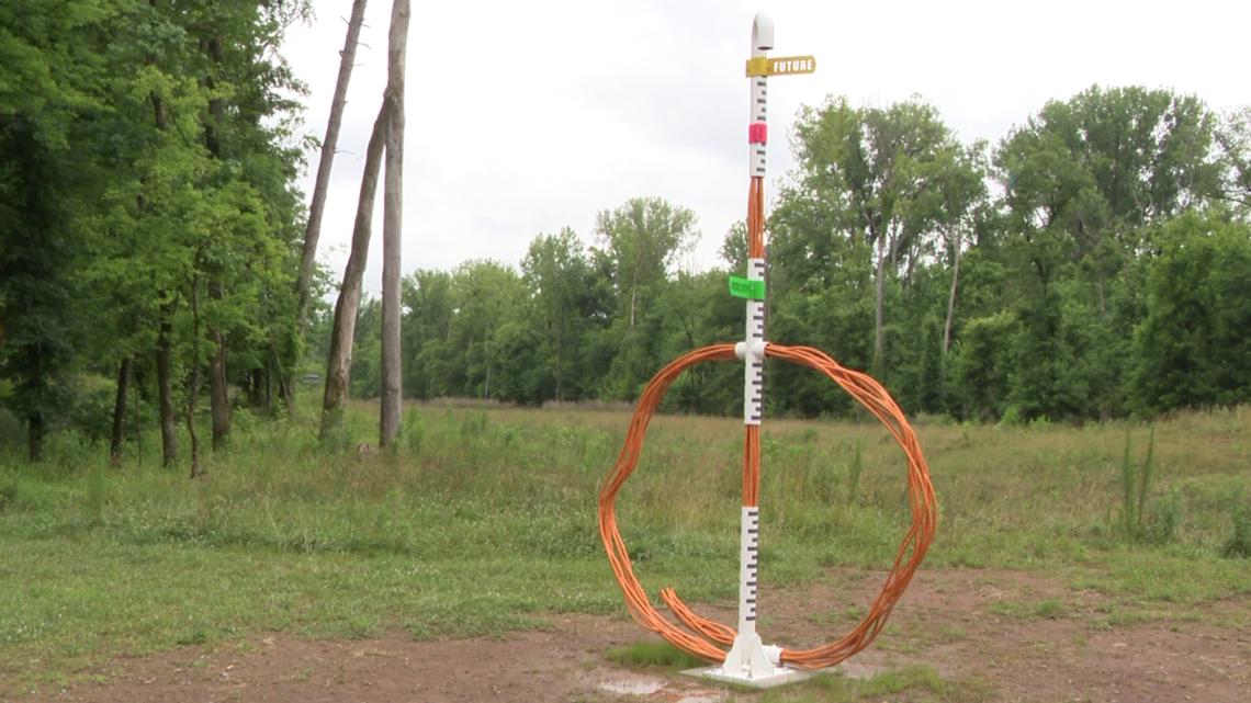
The snorkel, fixed alongside what ASC called an "oversized, abstracted human head," has measurement lines going up it similar to a flood marker or a rain gauge.
The piece is also notably designed to be changed, should flooding require.
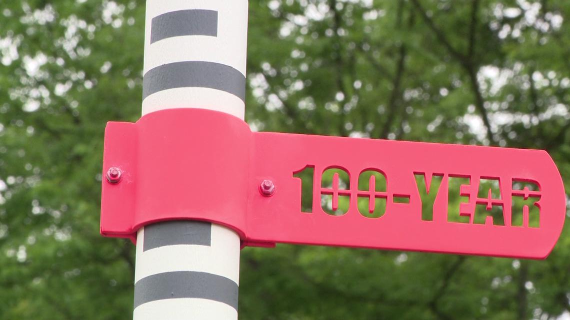
It currently includes markers for water levels at a 100-year flood, as well as the water levels during the November 2020 flood. ASC said if Charlotte reaches a new record flood level, the new measurement could then be added. The design can also be replicated across the city and country with specialized flood heights to help people understand the real risks.

The installation itself is now located on Storm Water Services property prone to flooding, where Mallard Creek and Toby Creek meet.
Officials with Storm Water Services is looking for additional funding from FEMA and the state to attain a dozen artistic flood markers. Those markers will be placed around the city in flood prone areas where people can interact with them.