CHARLOTTE, N.C. — It’s only been a month since Charlotte ended 2021 almost 8 inches drier than average and under a severe drought. But there's a flip side: the month of January has been extremely beneficial for the Carolinas in terms of both rain and snowfall.
As of January 27, 2022, the Queen City has recorded 4.1 inches of rainfall which is about an inch wetter than average. While snow isn’t as favorable as rain because the liquid ratio is much smaller, it’s still helped a bit.
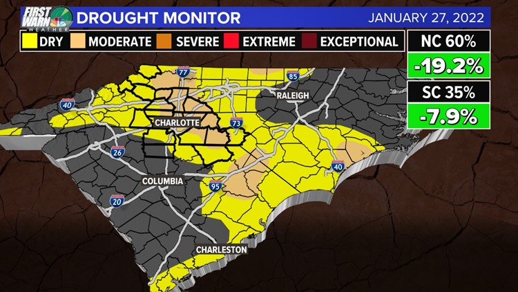
In fact, the latest United States drought monitor has both North and South Carolina chipping away significantly at the moderate drought. This is after eliminating the severe drought altogether just last week.
Currently, 60% of North Carolina is considered abnormally dry or a D0. Only 14% of the state is under a moderate drought or D1.
In South Carolina, the numbers are even lower. Only 35% of the state is under abnormally dry conditions. Of that, less than 7% of the state is under a moderate drought.
NOTE: D0 (Abnormally Dry), which is currently listed as 81.1% for North Carolina, is not technically a level of drought. This is only the precursor to drought.


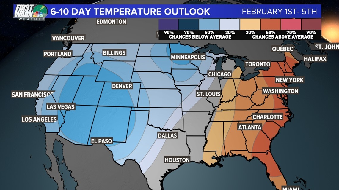
Long-term models have suggested a pattern flip as the Carolinas enter into February. This could mean warmer and drier than normal conditions return.
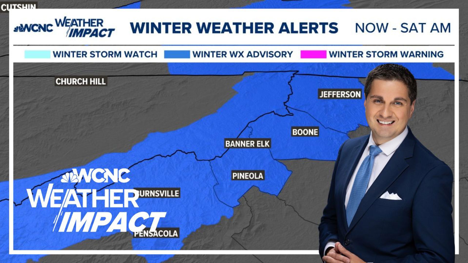
In the short-term, more help is coming as moisture returns across the Charlotte area tomorrow. Rain and snow is expected to accumulate Friday night into Saturday morning.
You can trust the First Warn Storm Team to keep you updated on any changes!
Contact Brittany Van Voorhees at bvanvoorhe@wcnc.com and follow her on Facebook, Twitter and Instagram.


