CHARLOTTE, N.C. — The first wintry blast of the season brought snow and ice to the North Carolina mountains Monday night into Tuesday, with some areas seeing several inches of snowfall on the first day of meteorological winter.
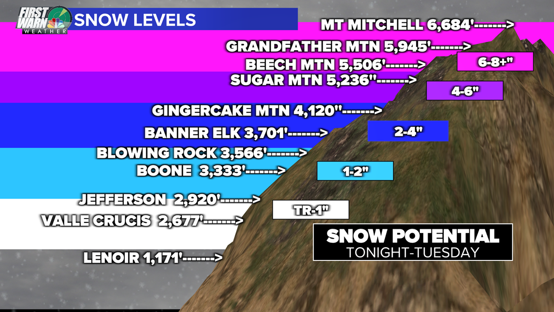
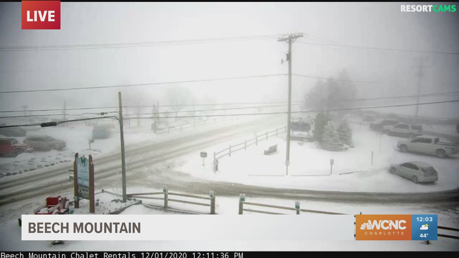
The snowfall was relative to the elevation, with higher elevations receiving the most snowfall. Mount Leconte received 11 inches, with 7 inches falling in Madison County.
Snowfall totals in western North Carolina
- Michell County: 6"
- Avery County: 3.4"
- Boone: 1-2"
- Blowing Rock: 1"
On top of all the snow, the whole area is easily seeing the coldest air of the season with overnight lows in the mountains dipping into the teens. The feels-like temperatures were down into the single-digits. thanks to sustained winds of 15-20 mph in the mountains. Gusts as strong as 45 mph were recorded Tuesday.


First Warn meteorologist Chris Mulcahy said Tuesday's snowfall was the second-latest at Beech Mountain since records started being kept in 1992.
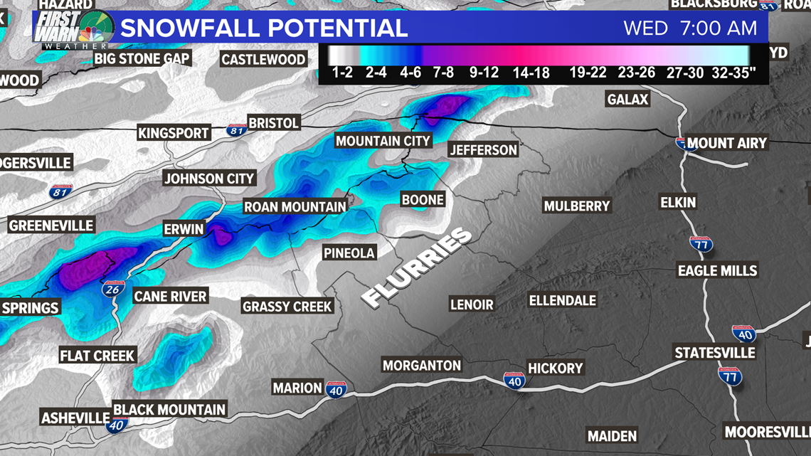
The snow will be very elevation dependent as shown by our snow level and amount graphic. The northwest side of the mountains near the Tennessee line will have the best chances of the higher totals.


The cold air will be sticking around for most of the week. This will be good news for skiers as the ski resorts will be able to make snow almost every night his week and evening well into the morning. This should allow most of the area's ski resorts to open this week and likely stay open for a while. The overall pattern for the first 10-15 days of December is looking seasonable to cooler than average. This is coming after what was the fourth-warmest November on record and also the seventh-wettest for the Charlotte area.
So it's finally starting to feel like it should around here for this time of the year.

