
A large storm system that's sweeping across the country is expected to bring heavy rain and the threat for flooding to the Charlotte area late Thursday and all day Friday.
Flood advisories are in effect for the entire Charlotte area until 7 a.m. Saturday as officials monitor lake levels ahead of the rain.
First Warn forecaster Larry Sprinkle said the storms, which have brought severe weather to Texas and Louisiana, will begin to reach the western Carolinas late Thursday around midnight. By 6 a.m. Friday, rain will be falling in Charlotte with periods of heavy rain throughout the day.
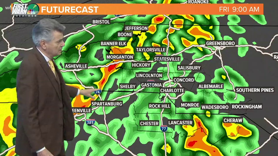
"All of the heavier rainfall will be back to the west around midnight Thursday night," Sprinkle said. "We get to midnight and the rain starts tracking toward the area by around 4 a.m."
Sprinkle said the heaviest rain will be in Charlotte around 9 a.m. The Queen City could also see some thunderstorms in addition to the heavy rain before the system moves out Friday night. Projected rainfall totals in the Charlotte metro area range from 2-4 inches, which could lead to flooding in low-lying areas and communities near local lakes.
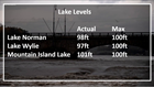
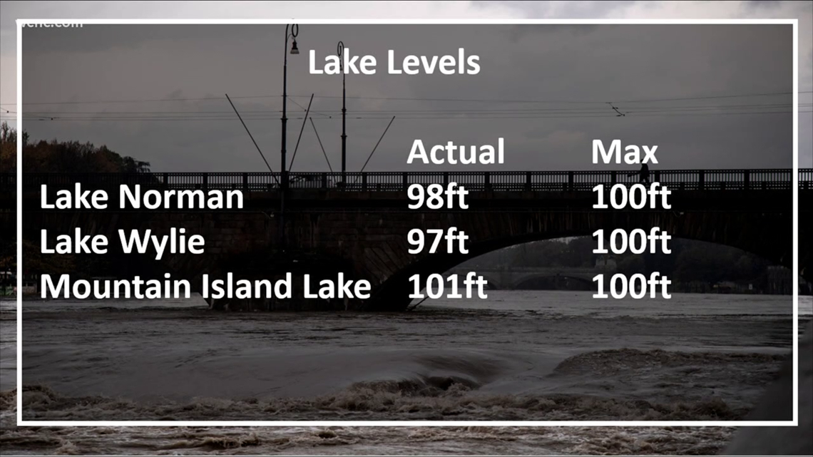
One of the lakes teetering on the edge of flooding is Mountain Island Lake in Gaston County, where the water level is already one inch above the 101-foot max. Lake Norman is two inches away from its maximum level and Lake Wylie is three inches from maximum capacity.
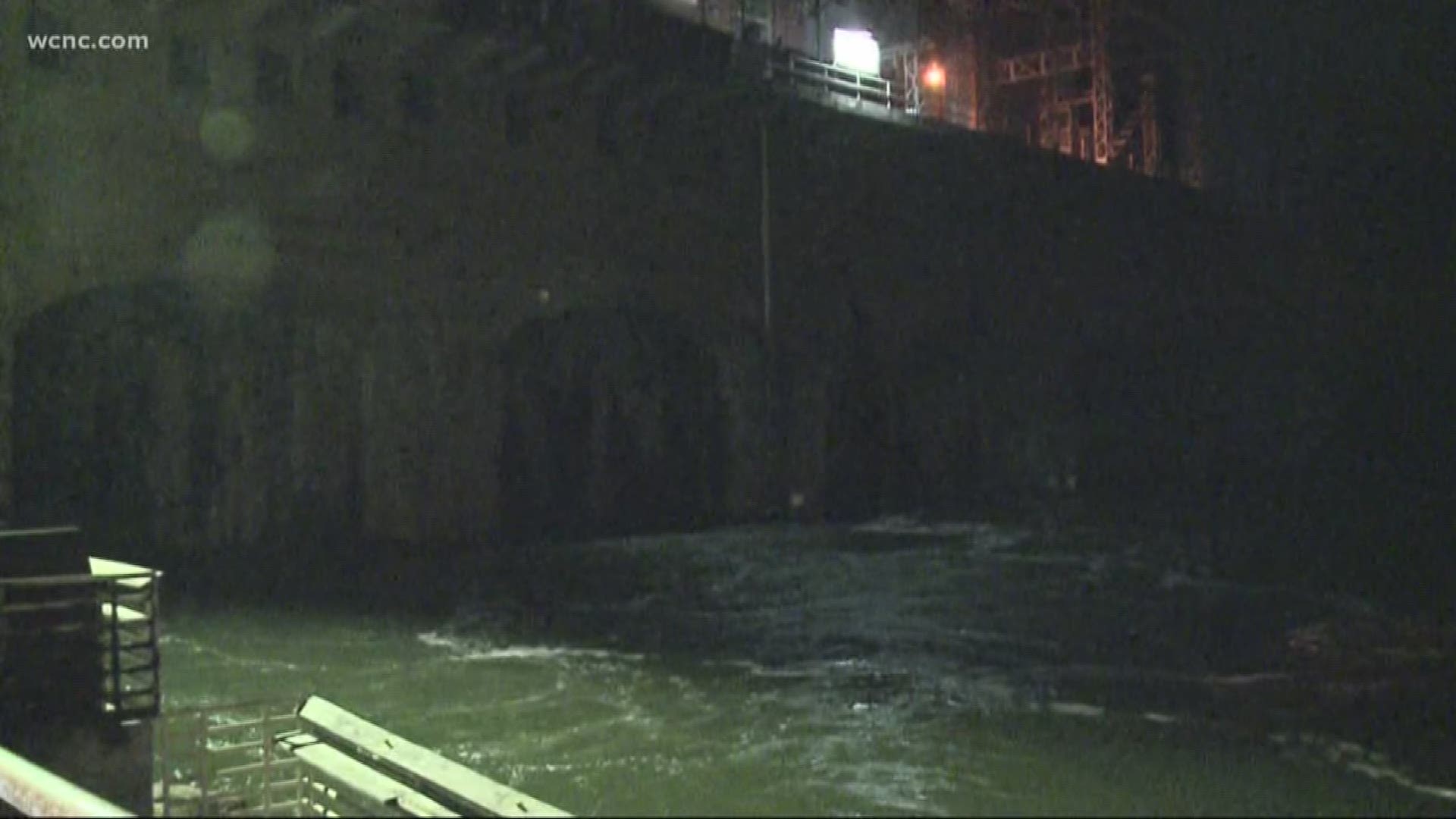
Mountain Island Lake already experienced flooding once this year when the remnants of Hurricane Florence brought torrential rain to the area. If you live near a lake or creek, you should clear your yard of any loose items, such as lawn chairs and leaves ahead of the storm. Also, make sure your drains are clear of leaves to prevent flooding on the roads by your house.