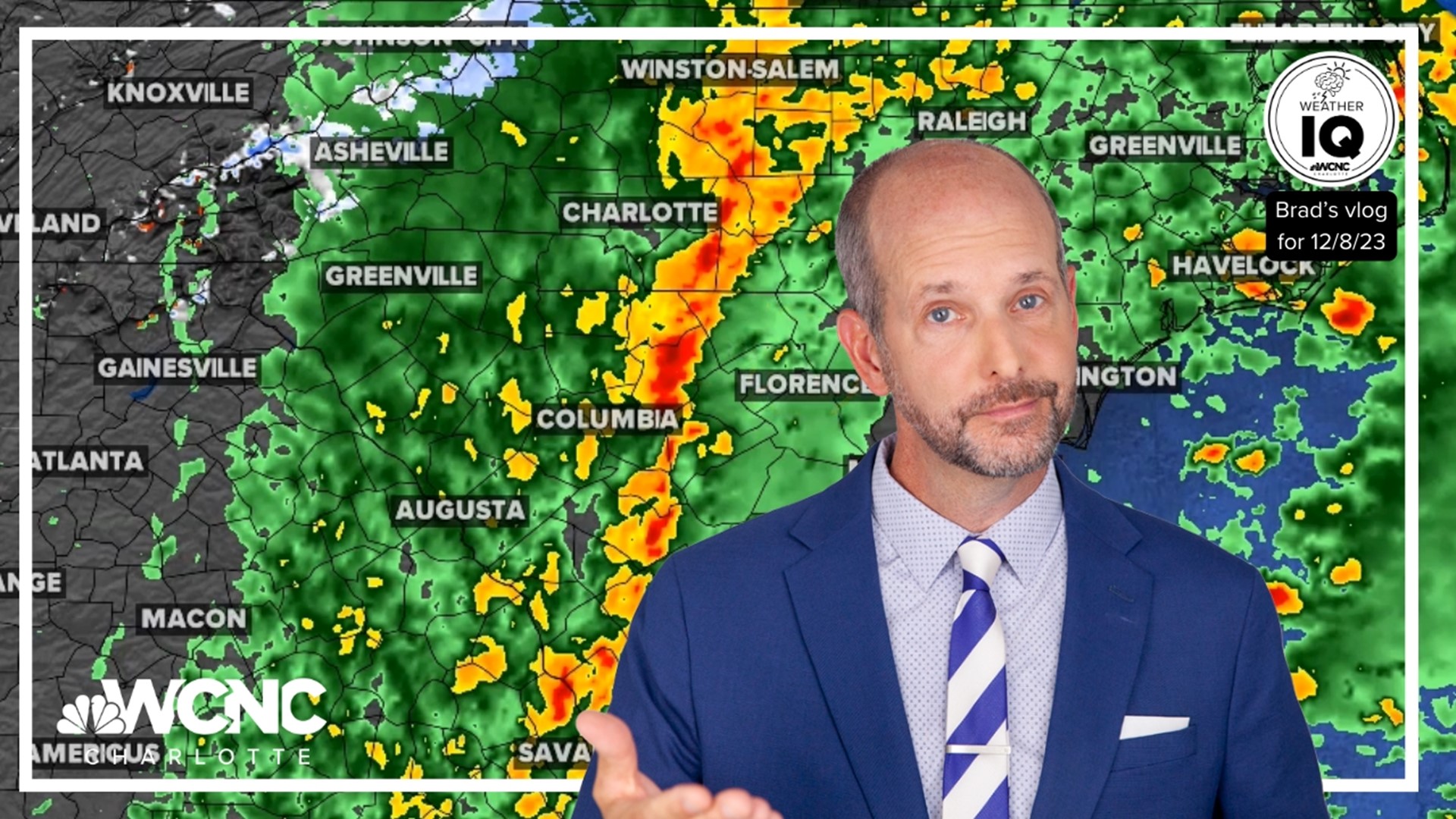
CHARLOTTE, N.C. — "If you have outdoor plans on Sunday afternoon, I definitely would be considering changing those plans because this isn't just going to be rain," Panovich said in his vlog on WCNC Charlotte's Weather IQ YouTube channel. "This is going to be rain, wind and possibly some strong storms."
Today won't be a complete washout but there won't be much dry time to get outdoors. The first round of rain has already moved through the Charlotte area with gusty winds near 35 mph in a few spots. This early rain should help stabilize our atmosphere and lessen the severe risk as more rain and storms move in later this afternoon. The severe threat remains highest east of I-77 especially away from our region.
The main risk is damaging, straight-line winds in excess of 60 mph. The tornado threat is low but not zero. Minor flooding is possible due to 1 - 2 inches of rain but our local drought lessens that risk. Clearing is expected late Sunday evening and through the overnight hours.
For the mountains, rain during the day and early afternoon makes the changeover to wintry precipitation in the afternoon. A few bursts of snow due to northwesterly flow will allow for multiple inches of accumulation. For this reason, a Winter Weather Advisory has been issued for Ashe, Watauga, and Avery counties from Sunday afternoon through Monday midday.
RELATED: How to drive on black ice safely
Snowfall accumulation of 1 - 3 inches are likely with isolated higher totals. Gusty winds (peaking near 50 mph) may bring down loose branches and could lead to scattered power outages. Our team will watch for refreeze potential and black ice issues as well across the region. Be safe out there!
WCNC Charlotte’s Weather IQ YouTube channel gives detailed explainers from the WCNC Charlotte meteorologists to help you learn and understand weather, climate and science. Watch previous stories where you can raise your Weather IQ in the YouTube playlist below and subscribe to get updated when new videos are uploaded.

