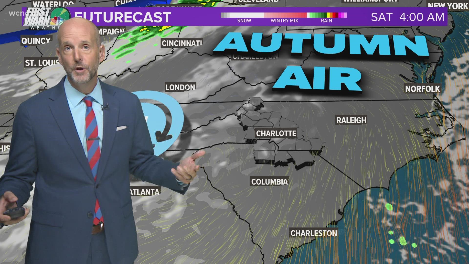
CHARLOTTE, N.C. — Wednesday was the first day of fall and Mother Nature brought another round of rain to the Carolinas with the threat of severe weather and storms.
First Warn Chief Meteorologist Brad Panovich said the first cold front of fall is moved in with a threat of thunderstorms. The threat for severe weather was low and it's not widespread across the Charlotte region.
By 3 p.m., the first band had moved into the mountains. It was east of the mountains, however, Panovich was concerned about.
"Areas east of I-77 we'll be watching. We're talking Concord to Salisbury, Albemarle and north along I-85," Panovich said.
The storms moved east-west through the Charlotte metro, and by dinner time most everyone was clear. Now, the cooler temps are in the cards.
"It's going to feel amazing around here," Panovich said explaining the cooler temperatures on the backside of the cold front.
The heaviest rain was east of Charlotte, with some lingering storms in parts of Albemarle, Ansonville, and Wadesboro, along Highway 52 later on.
Projected rainfall totals Wednesday:
- Boone: 0.28"
- Charlotte: 0.30"
- Cheraw: 1.15"
- Concord: 1.11"
- Rock Hill: 0.71"
- Salisbury: 0.70"
Contact Larry Sprinkle at lsprinkle@wcnc.com and follow him on Facebook, Twitter and Instagram.
Wake Up Charlotte To Go is a daily news and weather podcast you can listen to so you can start your day with the team at Wake Up Charlotte.
SUBSCRIBE: Apple Podcasts || Spotify || Stitcher || TuneIn || Google Podcasts
All of WCNC Charlotte's podcasts are free and available for both streaming and download. You can listen now on Android, iPhone, Amazon, and other internet-connected devices. Join us from North Carolina, South Carolina, or on the go anywhere.

