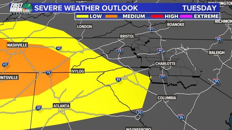
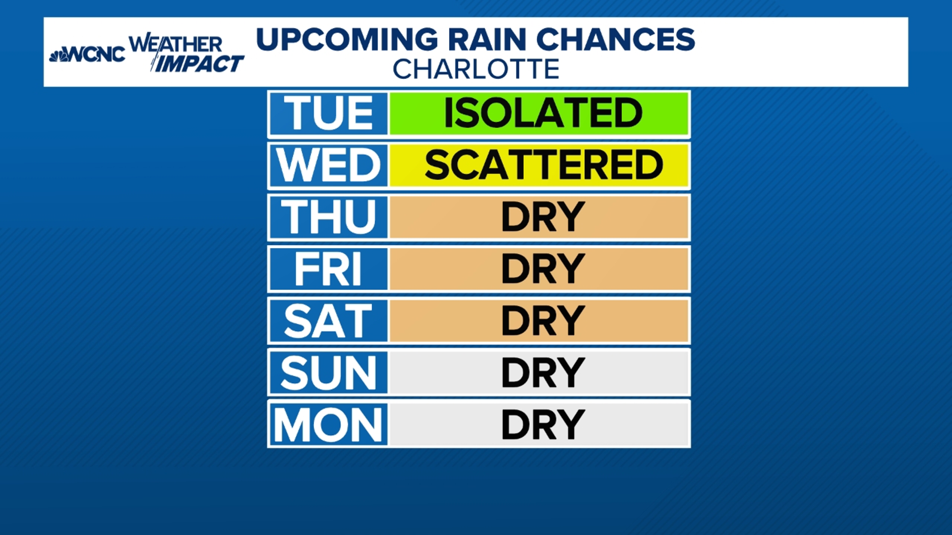
CHARLOTTE, N.C. — The First Warn Storm Team is tracking heavy rain that will move into the Carolinas Tuesday with the threat for strong thunderstorms.
“I would say the heavy rain threat is by far our biggest issue,” said Chief Meteorologist Brad Panovich.
The rain will move in from the south and the west. The Charlotte area is in the medium threat for heavy rain and flash flooding.
“We’re probably going to be on the cool side of this front so we’re not looking at a lot of severe storms, at least initially. It’s all going to be dependent on how close this front gets to us,” Panovich explained.
As the front moves up from the south, the area will see the potential for strong storms moving in with the warmer air.
“If we stay wedged in with cool air, we’re probably looking at more of what we call elevated thunderstorms, and that’s primarily going to be a lot of loud thunder and lightning and heavy rain,” Panovich said.
The First Warn Storm Team will be watching that boundary carefully, especially in the afternoon. A batch of very heavy rain will move into the area around 4 or 5 p.m.
“Just plan on some really heavy rain this afternoon,” Panovich said.
Into the overnight hours another batch of heavy rain will move through between 2-4 a.m.
“Nothing about this shows severe weather, but it does show a lot of heavy rain that’s going to be moving in between now and about 7 a.m. tomorrow morning,” Panovich said.
Areas long I-85 could see 2-3 inches of rain by Wednesday afternoon.


