
CHARLOTTE, N.C. — The Monroe Fire Department's swift water rescue team was deployed to western North Carolina ahead of Hurricane Helene, which is expected to bring torrential rain to the Southeast on Thursday and Friday.
The city of Monroe said the seven-person crew was assigned to Jackson County, North Carolina, which is west of Asheville. Chief Meteorologist Brad Panovich says some areas in western North Carolina could see up to 15 inches of rain by the time Helene moves out of the region on Friday. A flood watch is in effect for the entirety of western North Carolina through Friday afternoon.
Forecasters are expecting potentially catastrophic flooding in the mountains, which could lead to landslides and other life-threatening conditions.
On Thursday, the current forecasts and conditions showed Lake James will begin spilling and is forecast to reach or even exceed 110 feet by Friday afternoon, which is 10 feet above the full pond elevation. This would be the highest lake level ever reached at the lake. Lake residents were encouraged to prepare for flooding conditions and to closely monitor lake levels.
Gov. Roy Cooper declared a state of emergency that allows the state to mobilize resources and personnel to areas that will be impacted by Helene.
“Helene threatens heavy rain, flash flooding, landslides, and damaging winds to the mountains and Piedmont areas of our state,” Cooper said.
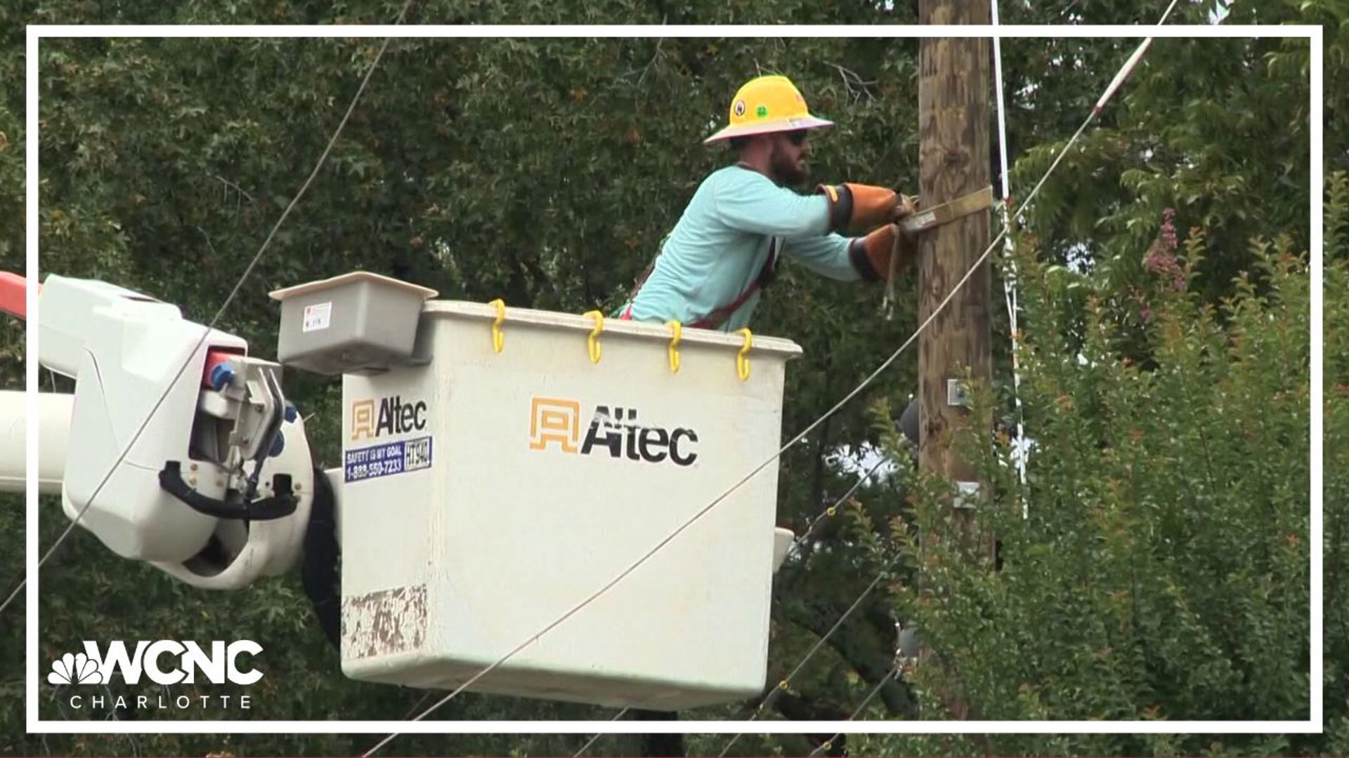
Meanwhile, preparations are already underway statewide for Helene's impacts. Charlotte Motor Speedway opened its campground for evacuees, offering free spaces for those fleeing the storm.
Tropical storm watches and warnings are in place, including portions of our viewing area. A Tropical Storm Warning is in effect for Mecklenburg, Union, York, Chester, Gaston, Lincoln, Catawba, Cleveland, Burke, Caldwell and Avery counties. Impacted cities and towns include Banner Elk, Shelby, Lenoir, Morganton, Hickory, Newton, Gastonia, Charlotte, Rock Hill, Fort Mill, Chester, Lincolnton, Monroe, Huntersville, Matthews, and Cheraw.
On top of the wind and rain, the Carolinas are expected to be in the right-front quadrant of Helene, often referred to as the "dirty side". This will lead to a higher-than-average risk of quick spin-up tornadoes. Tropical tornadoes are often very weak but they can still produce impacts.