CHARLOTTE, N.C. — The North Carolina Department of Transportation (NCDOT) is using an early flood-detection system during a hurricane for the first time. The new software was installed in May 2022 and transportation officials said it could help save lives.
With heavy rain, even small creeks can flood streets, which causes danger for drivers.
"You should be very cautious and approach roads carefully if you see water on the road and maybe don't even go in it at all,” urged NCDOT spokesperson Andrew Barksdale.
Barksdale explained that after Hurricane Florence wreaked havoc on roads in 2018, NCDOT was tasked with creating a gauge system to detect flooding and unsafe conditions.
"It took two or three years to develop this system," said Barksdale, adding that they use a lot of existing stream and river gauges that were installed by other agencies, like the United States Geological Survey.
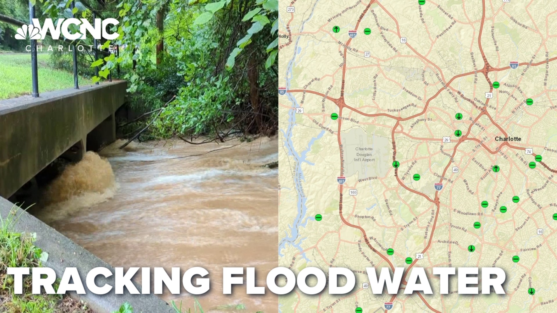
The gauges measure a creek or stream that runs near a roadway and then send updates to NCDOT every 15 minutes. Barksdale said the information helps the agency deploy resources, like barricades and maintenance crews, more quickly and efficiently to areas of concern.
All 469 gauges across the state can be seen on an online, live-updated map. If a gauge detects rising or receding water, an upward or downward arrow will appear on the online marker. The color of the virtual marker signifies the level of flooding.
A key part to preventing flooded roads starts at the lakes. Duke Energy told WCNC Charlotte it's lowering lake levels to make room for the rush of rain headed to the Carolinas.
"As much water that we can put in the lakes and not in the streets – that’s good for us," said Rand Wheeless with Duke Energy.
NCDOT will be posting updates on flooded roads and closures throughout the storm system online.
Contact Julia Kauffman at jkauffman@wcnc.com and follow her on Facebook, Twitter and Instagram.

