CHARLOTTE, N.C. — If you haven't heard, we are set to see some of the coldest air to hit the region in about three years early next week. That cold air is being pushed our way by a weakening of the Polar Vortex.
Polar Vortex?:
So this term has been around for a long time and is not new. It actually dates back to about 1853. It is also a term that gets misused often and is still misunderstood by those not in the Atmospheric Sciences.
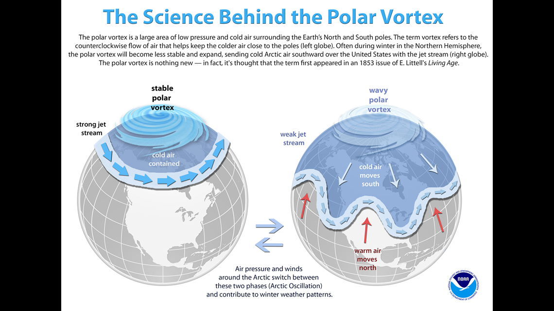
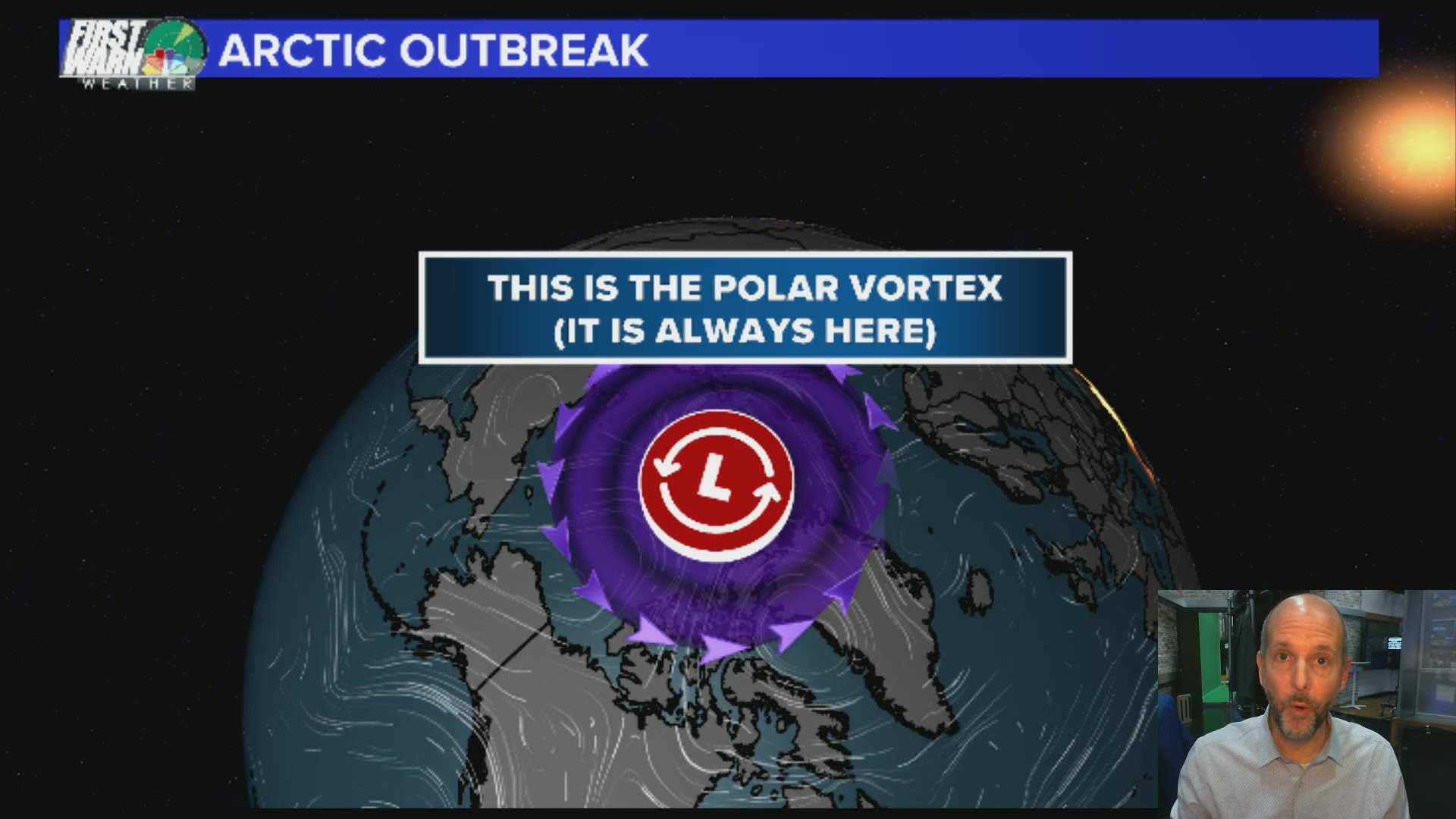
The polar vortex is simple a semi-permanent low-pressure system in the upper levels of the atmosphere over the Polar regions. It holds most of the coldest air in the polar regions under it.


When the polar vortex is strong and stable, it bottles up all the cold air underneath it. So when it's strong, we don't see cold air that far south.
When the poor vortex weakens and becomes unstable, it begins to spill cold air south. It's like have a bucket of water and spinning fast in a giant circle the centrifugal force keeps the water in the bucket.
If you slow down the spinning of the bucket, then water spills out. This happens when the polar vortex weakens and slows down the cold air "spills" south in chunks. So when we see the weakening, we know within about a two week period, we will see cold air spill south somewhere in the northern hemisphere.
So while the polar vortex causes the cold air to spill south, it doesn't actually move south with it always. Sometimes a piece can break off but rarely doesn't make it to the U.S., usually just into Canada.
Next Week:
Since the polar vortex weakened about two weeks ago, we are now seeing the cold air move south. Next week, the polar jetstream dips far south and brings a chunk of cold with it. So we could see the coldest air since 2018, so we can blame this cold air on the weakening polar vortex.
The polar vortex itself is not actually moving over us next week. We could see lows in the single digits and teens for a few days and highs struggling to reach the low 30s.

