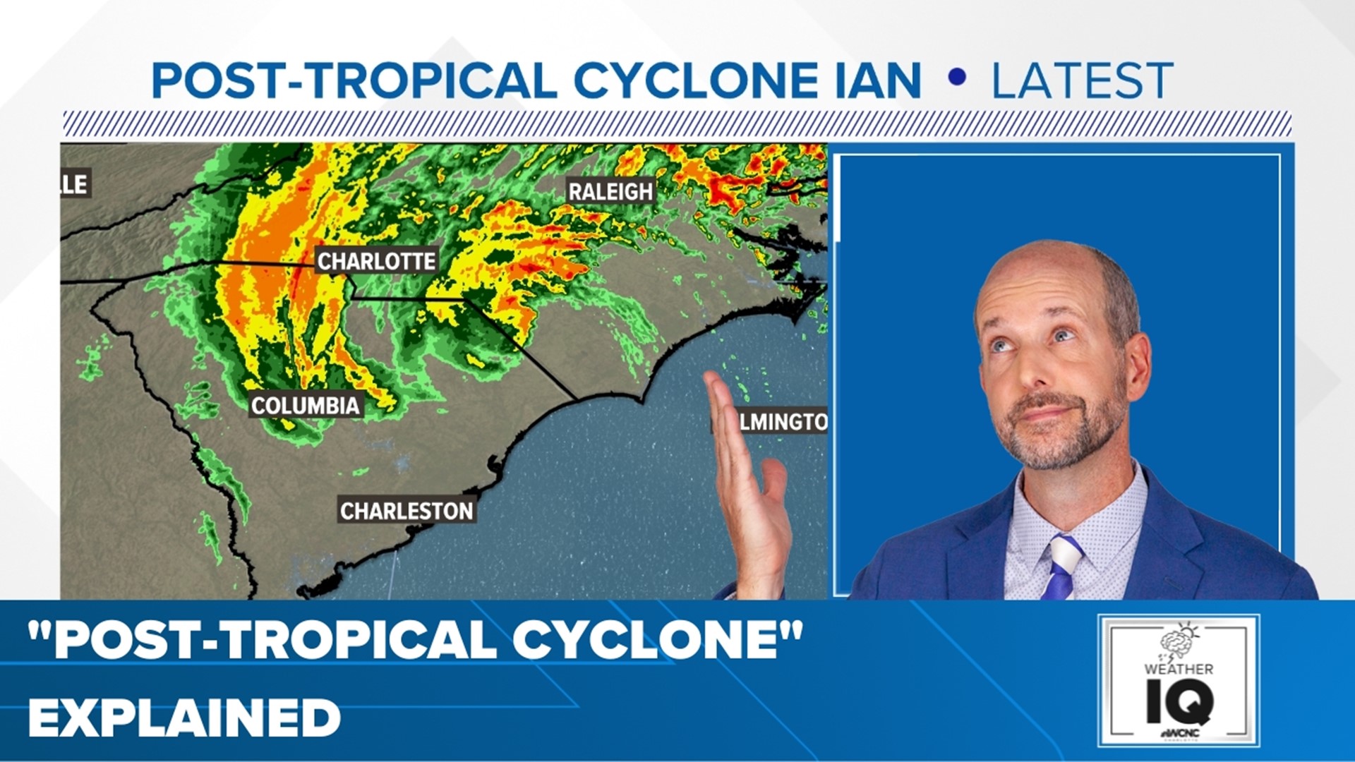
CHARLOTTE, N.C. — Ian made two landfalls in the United States during its run: the first U.S. landfall Wednesday as a Category 4 hurricane in Cayo Costa, Florida along the Southwest Florida coast, battering the area with catastrophic storm surge and high winds.
The second U.S. landfall was Friday as a Category 1 hurricane with winds of 85 mph near Georgetown, South Carolina.
So now, what's the storm doing? Well, Ian continues to move inland across the Carolinas. As of 5 p.m. Friday, the storm is no longer a hurricane. It's also not a tropical storm. It is a post-tropical cyclone.
By definition from the National Hurricane Center, a post-tropical cyclone is "a cyclone that no longer possesses sufficient tropical characteristics to be considered a tropical cyclone. Post-tropical cyclones can continue to carry heavy rains and high winds."
In simpler terms, it is a former tropical cyclone (ie a traditional tropical storm or hurricane) that has lost tropical characteristics. These lost characteristics could be something like:
- Transitioning from a warm core to a cold core. You must have a warm core to be tropical. The core is the air fueling the center "heart" of the storm. Once it becomes a cold core, the storm is more similar to a Nor'easter than a tropical system.
- Interacting with a frontal boundary, such as a cold front. Tropical cyclones have to live on their own.
- Losing its closed center of circulation of the eye
One important thing to remember is that a classification of "post-tropical" doesn't necessarily mean the storm has weakened. As of 5 p.m., Ian still had winds of 70 mph. That means if it was still tropical, it would be classified as a tropical storm.
One famous example of a post-tropical cyclone that still had a lot of power - Superstorm Sandy back in 2012. Although Sandy was a hurricane and tropical storm at one time, it was post-tropical when it made landfall in New Jersey.

