CHARLOTTE, N.C. — Welcome to the dead of Winter where a cold rain can easily turn to snow within minutes. And this is often credited to the rain-snow line.
But what exactly is it?
Simply put it is the dividing line between rain and snow, but it is a little more complicated than that?
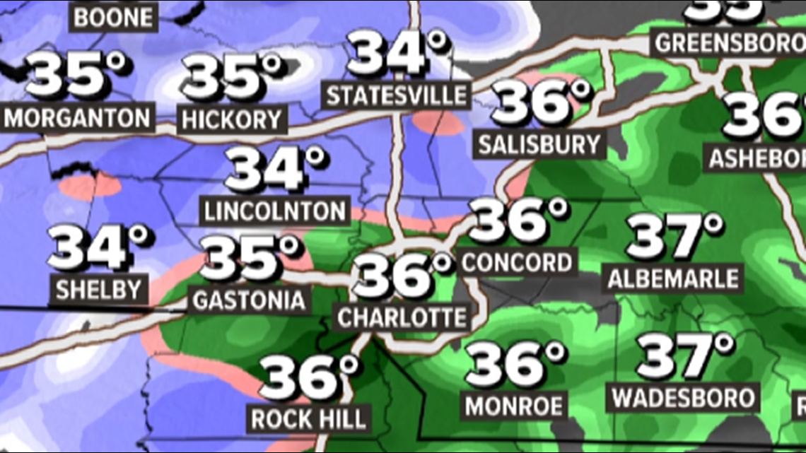
On the radar, the rain-snow line is defined by this pink line and when the system is strong, the line is usually quite narrow. Meaning 20 miles could be the difference of heavy rain or heavy snow, but within in the pink is a Meteorological mixed bag.


It all depends on the warm nose or warm layer above our head. As Meteorologists, we need to know what is happening thousands of feet up.
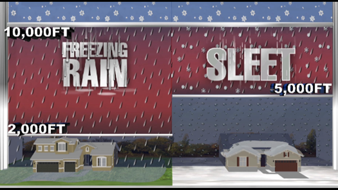
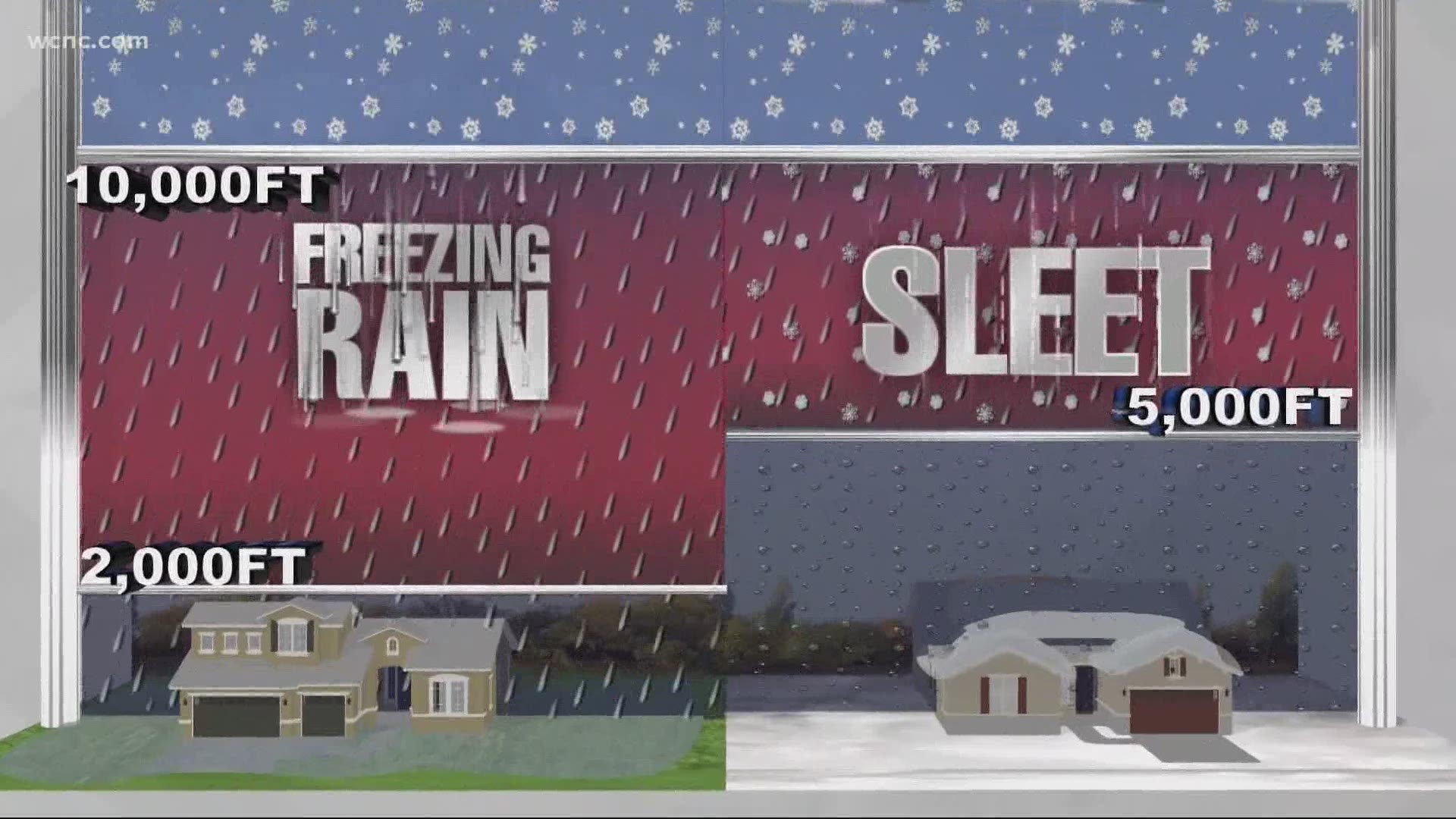
When warmer above-freezing air is about 2-10 thousand feet up it will either partially melt or fully melt falling snowflakes. Depending on how deep this layer is, the partially melted flake will either refreeze as sleet or the fully melted supercooled droplet will fall as freezing rain.


However, there is also a third scenario where rain and snow may fall together which is one scenario many of us could see at some point with this upcoming system.
And this line often bends around a low-pressure system
NOW LETS GET TECHNICAL
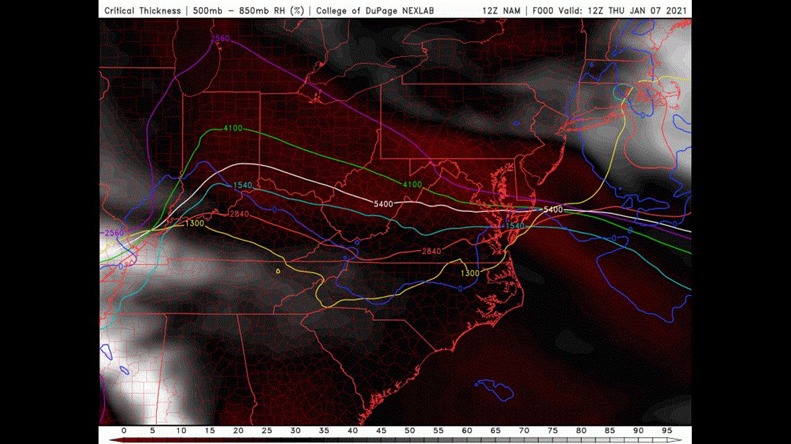
The technical name of the rain-snow line is actually called the 540 line which averages the thickness of the lower atmosphere.
The shallower this thickness is the colder it is and thus snow reaches the surface. So when this thickness is at 540.
Chances of snow are at 50% and that is why this line is an important tool when forecasting snow.


There are multiple thickness levels used for forecasting snow and other weather but the 540 between 1000mb and 500mb is the first on the list for Meteorologists during a snow season.

