CHARLOTTE, N.C. — Warm weather, long days and frequent fronts during the spring months usually mean one thing: severe weather.
Thunderstorm activity increases from April through June, with the primary threat being gusty winds, large hail, and tornadoes.
For a thunderstorm to be considered as "severe," the hail will be over one inch in diameter or the winds will be over 58 MPH. Hail this large can cause damage to plants, roofs, and vehicles. Winds this strong break large branches, knock over trees and cause structural damage. If your location is near the watch area but not included, you should still be on the lookout for changing weather situations.


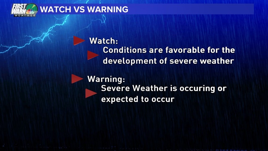
Here is a reminder of the difference between a watch and a warning. A "Watch" means, basically, be prepared. Severe thunderstorms are expected in the area during the allotted timeframe. A "Watch" will cover numerous counties and at times include several states.
A "Warning" is issued when action should be taken immediately, as severe weather has been reported by trained spotters, public officials, or indicated by radar. "Warnings" typically cover a much smaller area, about the size of a county or two.
Lightning and flooding are not considered in severe thunderstorms but can be just as deadly. Severe storms will happen this spring and summer, have a plan of action for your family, especially young children.

