CHARLOTTE, N.C. — One week after multiple tornadoes caused major damage across the Charlotte area, the Carolinas will again face the threat of severe weather Thursday.
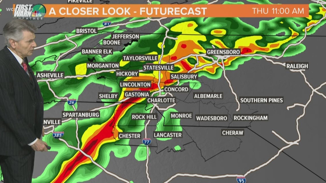
A line of storms will push east Thursday morning before continuing toward eastern North Carolina in the afternoon. Fortunately, the overall threat is low, especially compared to last week's outbreak that saw eight confirmed tornadoes around the Charlotte area.
"This is nothing like that," said First Warn chief meteorologist Brad Panovich. "Let me reiterate, it's nothing like that."
The biggest threat will be straight-line winds, according to Panovich. He says gusts up to 60 mph are possible in the strongest storms. They're expected to move through the Charlotte area by 10 a.m. before pushing east. Panovich said some gusts up to 50 mph were reported in Gaston County.
Panovich says the highest risks in Charlotte are incredibly low but there is potential for strong storms along I-85. Areas south and east of I-85 are also at risk, particularly around Rockingham and Southern Pines.
"Last week, we were in the high range for damaging winds, flooding and there was a possibility of tornadoes," Panovich said. "This setup is nowhere anything like last week. On a scale of 1 to 4, tomorrow is like a 0.5, so it's a low-end risk overall.
"There's barely any tornado probability. Last week, we had some 4s. This week it's pretty much a zero."
As that line of storms pushes east of the mountains, Panovich says the biggest question is timing for the overall severe weather threat. If a bunch of warm air gets pulled up to the area ahead of the line, the threat increases. That's why cities east of Charlotte have a greater chance of seeing severe weather.
The National Weather Service in Raleigh issued a tweet with their severe weather outlook, saying a line of showers will push into the area between 9 a.m. and 3 p.m. with heavy rainfall, damaging wind gusts and possibly a weak tornado.

