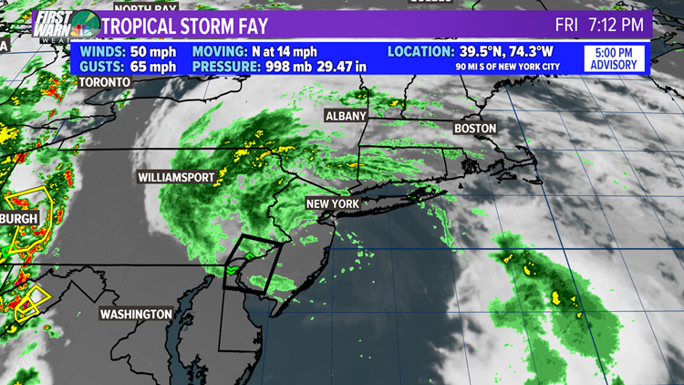
CHARLOTTE, N.C. — UPDATE TROPICAL STORM FAY: Near the Little Egg Harbor Inlet in Ocean County, NJ Tropical Storm Fay officially made landfall. The technical definition for landfall is when the storm center intersects completely with a shoreline. This occurred around 5PM Friday. The threat of heavy flooding rain continues as Fay moves North at about 14 mph. A Tropical Storm Warning will continue overnight for the Jersey shore and New York City.
So far the highest wind gusts that have been reported from Delaware from New York have ranged from 45-55 mph. This is a weak Tropical storm strength. The highest winds were likely 60 mph sustained around the center BUT these winds were well offshore and could only be seen in the waves.
Fay is expected to continue northward and weaken as it intersects Long Island Friday night into Saturday morning. At some point, Saturday Fay will no longer be a tropical storm and will accelerate into northern New England.
Weak But Historic:
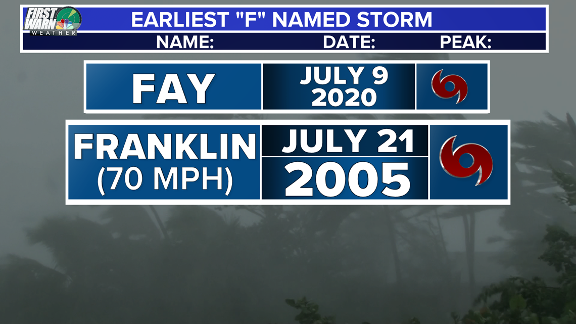
Tropical Storm Fay is the earliest, 6th named storm to ever occur in the Atlantic basin. The only other "F" named tropical storm we have had in
July was back in 2005. (NOTE: 2005 was the most active hurricane season on record and the only year we had to move onto the Greek alphabet to name storms later in the season.) Tropical storm Franklin was named on July 21st, 2005 and had peak winds up to 70 mph. Even though Fay will be weaker in strength, it would beat 2005's 6th named storm by about a week and a half.


The hurricane season, which historically peaks in September, continues through November annually.


