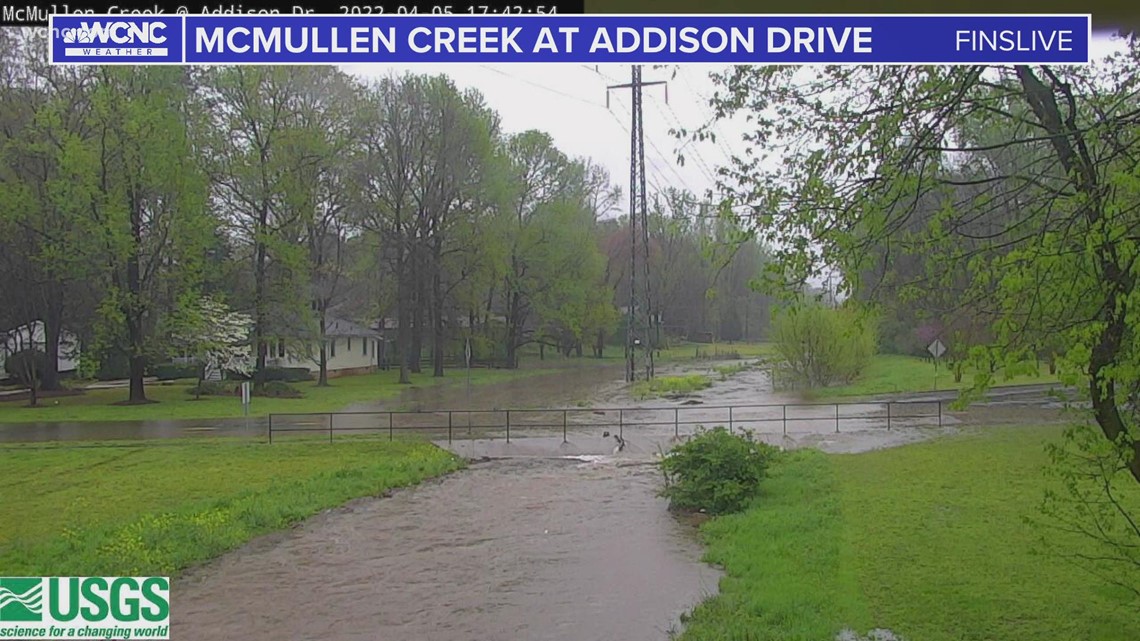
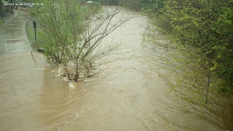
CHARLOTTE, N.C. — Creeks across the Charlotte area rose as continued heavy rains continue to fall in parts of the Carolinas.
By 6 p.m., over an inch of rain had fallen in Charlotte, with rain continuing for at least another hour. Some rain gauges in southern Mecklenburg County had measured upwards of 1.80" of rain.
The Little Sugar Creek in Midtown Charlotte was rising towards its bank because of the runoff from heavy rainfall, according to Mecklenburg County data. Portions of the Greenway, which runs along Kings Drive, were beginning to flood. The greenway corridor is designed to be a stream overflow.
In South Charlotte, McMullen Creek was about to flood over a portion of Addison Drive, which is inside the Sherwood Forest neighborhood.


Chief Meteorologist Brad Panovich said there was a possibility for flash flooding in some areas, as well as damaging winds and isolated spin-up tornadoes.


Earlier Tuesday, a tornado warning had been issued for parts of Chester and York counties in South Carolina, but it expired at 3:30 p.m. Panovich said radar indicated circulation west of Chester before the cell weakened and the warning was expired.
Panovich said that warning the last one in the Charlotte area, but not for the Carolinas as a whole. Multiple tornado warnings were in effect across the Midlands of South Carolina as strong thunderstorms moved across the Southeast. Panovich said the heavy rain across the Carolinas was good for keeping severe weather threats down.
"That rain is doing us a huge favor right now. It is stabilizing the atmosphere," Panovich said. "It is eating up the fuel for these storms to the south to feed off of, and the threat for stronger storms will shift to our south and will keep most of that severe weather away from us."
What to do during a tornado warning
When at home, you and your family need to go to a safe place. First, go to the lowest level of your home immediately. A basement is ideal, but if you don't have one, find the most interior room of your house away from windows.
Crouch on the floor and cover your head as much as you can. Brad Panovich's family keeps helmets in their safe space, along with other supplies for a tornado warning.
Your safe place should have a flashlight, as well as food and water. You should always wear shoes because if there is damage, you may have to walk through nails or broken glass.
Chief Meteorologist Brad Panovich said a large mass of showers and thunderstorms moved into the Carolinas from the southwest Tuesday afternoon with heavy rain and storms expected from around 3 p.m. until 7 p.m.
Panovich said the line of storms had some "broad but weak" rotation. It was moving northeast at 40 mph and reached Charlotte just before 4 p.m.
The line of storms extended all the way from North Carolina to the panhandle of Florida with severe weather more likely in areas south of the Charlotte metro. Some South Carolina schools in the Columbia area will dismiss students early Tuesday due to the threat of tornadoes and storms.
Round 2: Late Wednesday into Thursday
Panovich said the second wave of storms, which will roll into the Charlotte area late Wednesday night, could produce severe weather. There won't be as much rain during the second system, but it will make up for it with severe potential.
"Even though tomorrow's event may not be as widespread as the rain we're seeing today, it certainly has the potential to produce more severe weather," Panovich said. "We're also going to have the risk for possibly some heavy rain, some flash flooding."
Panovich said there's a higher risk of severe storms but not as many showers across the region with Wednesday night's setup.
"It's kind of deceiving," Panovich said. "It's one of those things where the chance of rain on Wednesday and Thursday might be 40%, but maybe half of those could be severe. Whereas today (Tuesday), the chance of rain is like 90% and maybe just 5% of those could be severe.
Panovich said he's hopeful that by the time those storms reach Charlotte, they'll have weakened significantly.
"Hopefully it's weakened by then, but honestly everyone's focus will be on what's going on in the mountains," Panovich said. "This stuff, you've got to watch out here. It doesn't look real impressive, but one or two of these cells are going to be all by themselves and they're going to be able to tap into this warm, humid air coming from the west. There's some potential there could be a couple of really nasty storms."


