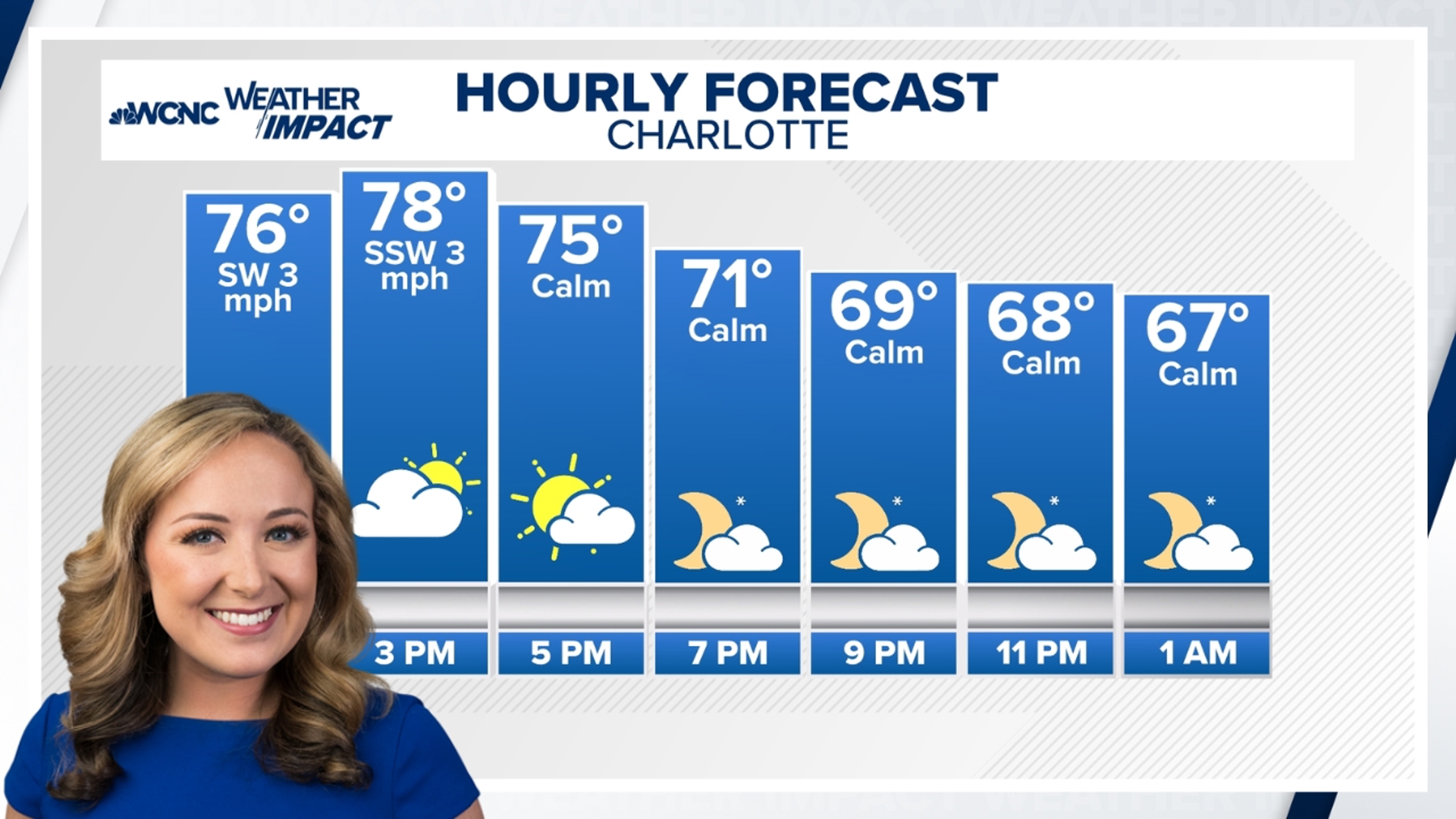
CHARLOTTE, N.C. — The ongoing warm pattern over the past few weeks, and really since fall began on Sept. 22, largely has to do with an unusual positioning of the jet stream. being too far north.
Cooler and drier air can’t filter in if a cold front can’t push this far south.
When the jet stream is positioned too far north, this changes the positioning of storm tracks and frontal boundaries. This contributed to the Carolinas' dry spell in October through early November, as well as the lack of cool air.
And while it certainly has been muggy and humid for November standards, a dry ground also promotes warmer temperatures.
Does this have to do with La Niña?
Technically, the answer to this question is no. The United States is currently in El Niño-neutral conditions. The National Oceanic and Atmospheric Administration (NOAA) produces weekly updates, which includes a La Niña Watch.
La Niña conditions during the winter months do favor warmer and drier conditions across the Southeast due to a northerly storm track and jet stream. This is similar to the recent weather pattern the Carolinas have been experiencing.
La Niña conditions are still expected to develop over the next few weeks and persist into early 2025. Current sea-surface temperatures are near-to-below average in the central and eastern Pacific Ocean.
What is El Niño neutral?
Sometimes referred to as La Nada, a neutral El Niño pattern is when conditions are near their long-term averages.
There are some instances during a neutral period where the ocean temperatures may look like they’re trending a certain way, but the atmosphere isn’t reacting how scientists expect it would. This is often an indication of a La Nada.
Contact Brittany Van Voorhees at bvanvoorhe@wcnc.com and follow her on Facebook, X and Instagram.

