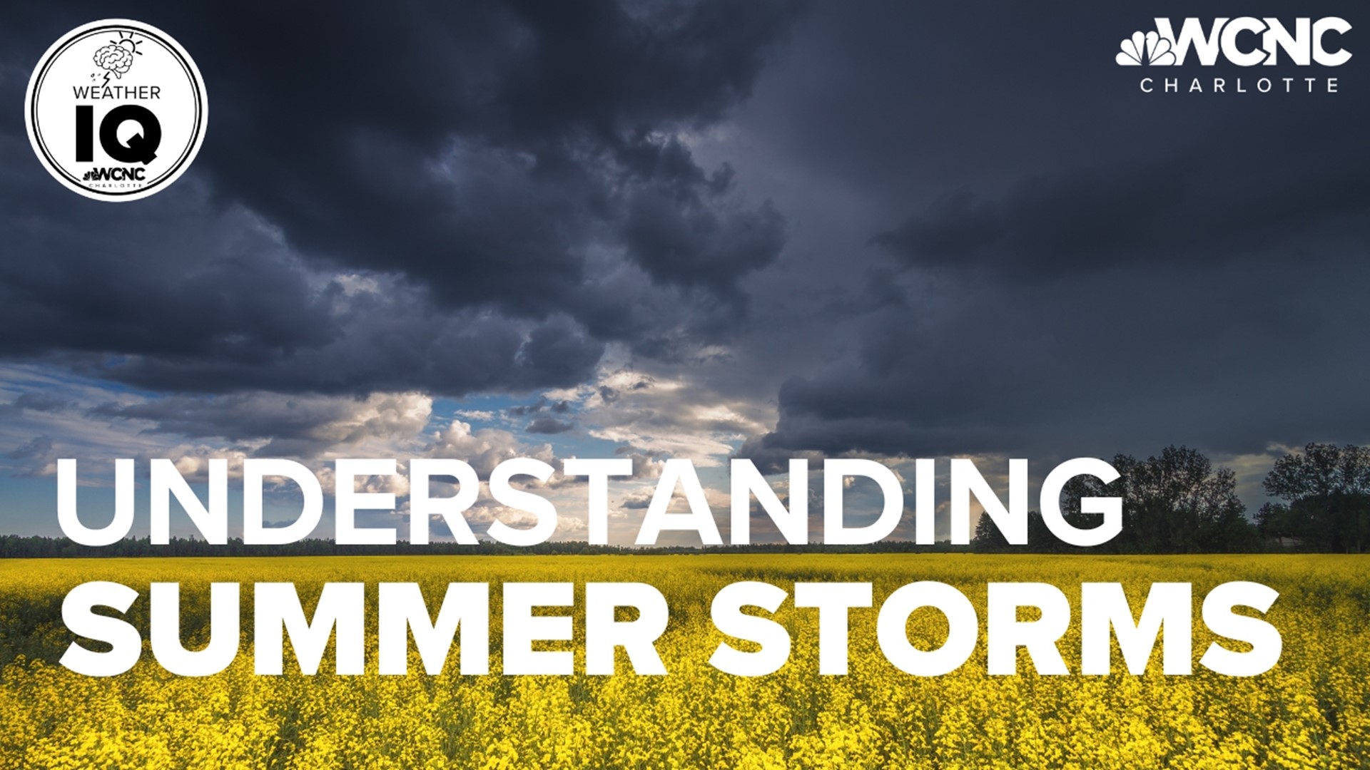
CHARLOTTE, N.C. — Summertime storms can quickly rain on your parade and those pop-up showers or storms can seemingly come out of nowhere on a hot afternoon.
Most of these summertime storms are triggered by a weather phenomenon called an outflow boundary.
For the latest weather alerts, download the WCNC Charlotte mobile app and enable push notifications.
Here's a simple way to understand this concept. Rain-cooled air falls from a thunderstorm and spread out like a wave traveling through the ocean. This is known as downdraft.
The rush of cool air will act as a gust by lifting warm and humid air around it. That's called an updraft, and this process can cause more storm cells if the atmosphere is unstable.
Surface wind direction will help determine where storms could pop up next.
In addition, outflow boundaries can travel hundreds of miles. They can be seen as a thin line of weak returns on radar. From your point of view on the ground, they'll appear as low-lying horizontal clouds, such as shelf or roll clouds.
And you probably experienced an outflow boundary if you’ve felt the cool rush of air before a storm.
Contact KJ Jacobs at kjacobs3@wcnc.com and follow him on Facebook, Twitter and Instagram.
Wake Up Charlotte To Go is a daily news and weather podcast you can listen to so you can start your day with the team at Wake Up Charlotte.
SUBSCRIBE: Apple Podcasts || Spotify || Stitcher || TuneIn || Google Podcasts
All of WCNC Charlotte's podcasts are free and available for both streaming and download. You can listen now on Android, iPhone, Amazon, and other internet-connected devices. Join us from North Carolina, South Carolina, or on the go anywhere.

