CHARLOTTE, N.C. — After two winter storms hit within a span of one week, snow blanketed the Charlotte area with more than four inches of snowfall combined.
The first winter storm with accumulating snow, sleet and freezing rain happened on Jan. 16. And just five days later, a cloudy and cold Friday afternoon turned into a snowy evening on Jan. 21.
The first round of snow this year dumped 2.2 inches in Charlotte, and the second winter storm totaled 1.9 inches of snowfall, with higher amounts for surrounding areas.
Totals were slightly higher from the first winter storm, but that’s not the primary reason why it remained on the ground many days after the storm exited the region.


Sleet is the main reason because it takes longer for sleet to melt than snow. A combination of sleet and snow accumulated on Sunday, yet it was only snowfall on Friday night and nearly all it quickly melted the very next day.
Sleet forms when a partially melted snowflake or a cold raindrop freezes into an ice pellet before reaching the ground.


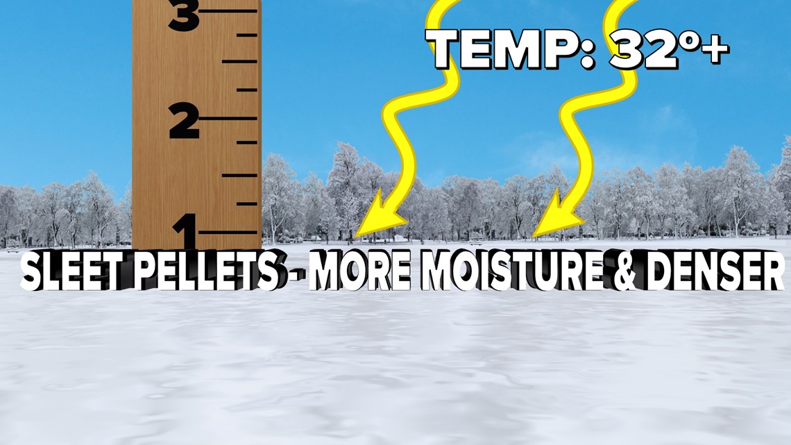
You might’ve noticed the sleet took longer to thaw on roads, despite having sunshine and warmer temperatures for several days after the storm. The tiny ice pellets of sleet contain more moisture content, and they have a higher density than light snow accumulations. The composition of the ice pellet makes for a slower melting process.
Keep in mind, it takes a lot of energy for a solid to change phases to a liquid in our atmosphere. For instance, if you hold an ice cube in an environment above freezing, it doesn’t melt instantly when it encounters air above 32 degrees.
Whether sleet or snow, the melting process is delayed once temperatures fall back below freezing during the overnight hours.

