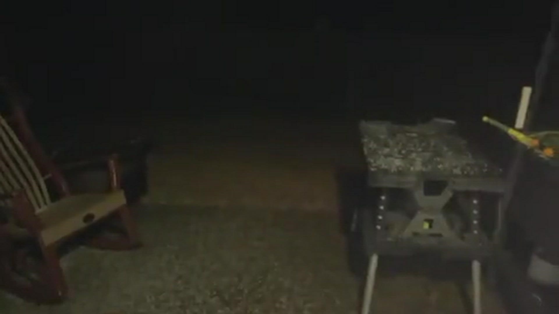
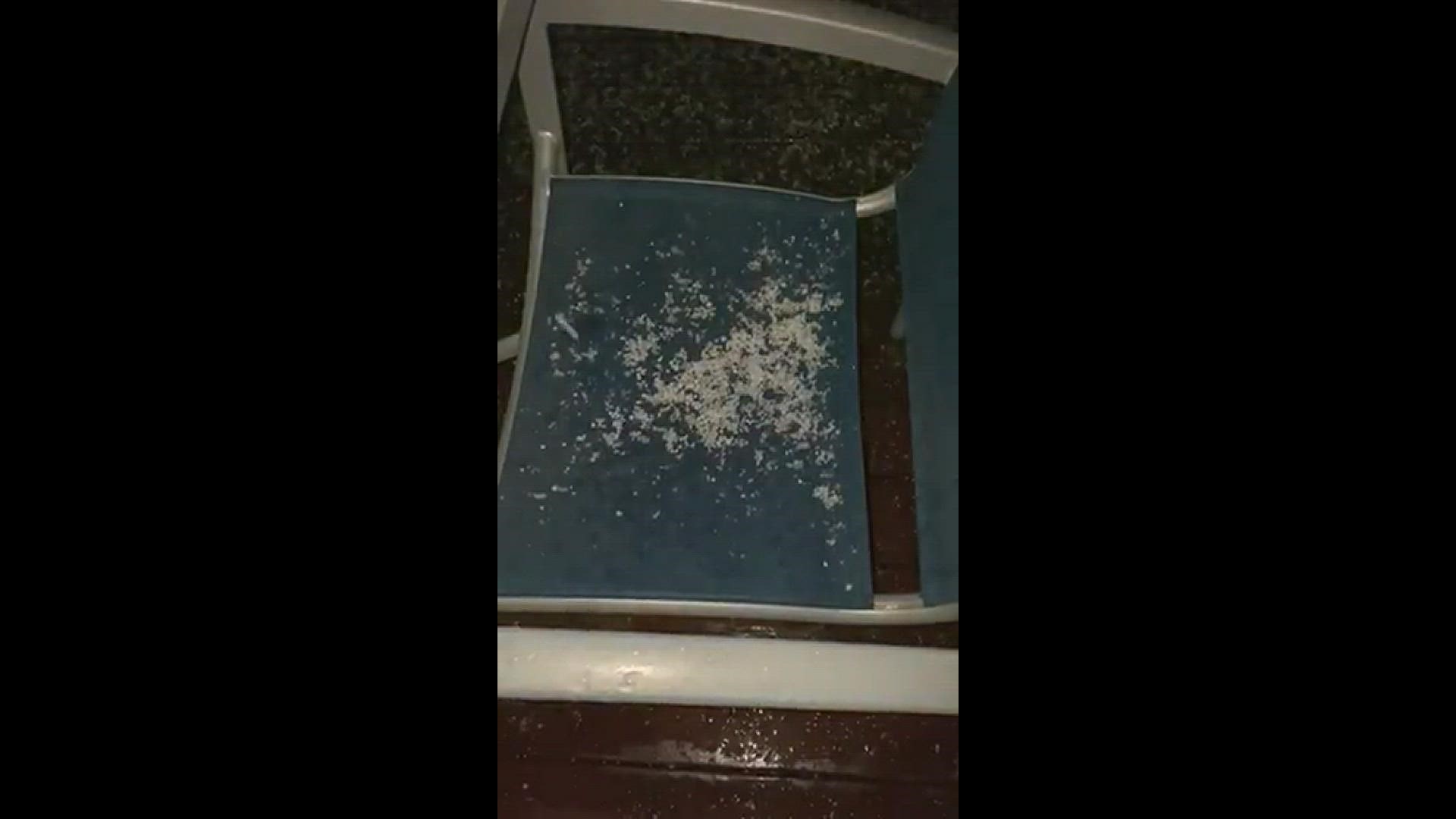
CHARLOTTE, N.C. — As a cold front moved across the Carolinas causing a sudden drop in temperatures Friday, some WCNC viewers north of Charlotte observed wintry precipitation in the form of what is called graupel.
Graupel is soft, small, white pellets formed when supercooled water droplets (at a temperature below 32°F) freeze onto a snow crystal, a process called riming, according to the National Oceanic and Atmospheric Association.
Graupel is often confused for snow or hail. And while they can technically be called "snow pellets" or "soft hail," meteorologists consider them distinctively a different type of frozen precipitation.
"It's partially melted snowflakes that attracted super cooler water on the way down," Chief Meteorologist Brad Panovich explained.
Like snow, graupel can be fragile and disintegrate when handled. Like hail, graupel tends to be circular. However, its strength and consistency are somewhere in the middle of the two: It's harder than snow but softer than hail.
Like snow, if enough graupel falls, it can leave the ground surface coated in white.
Snow can form in the gentle updrafts of stratus clouds or at high altitudes in very cold regions of a thunderstorm.
Hailstones are formed in the upper atmosphere of a thunderstorm, where the temperatures are the coldest. Hailstones can start as graupel or sleet but grow to a strength and size that solidifies them into the hail category. Hail is most common during thunderstorms and severe weather.
And while we're here, let's talk about sleet. Sleet is small ice pellets. They're similar in size to graupel but with the strength of hail. At ground level, sleet is only common during winter storms when the snow melts as it falls and the resulting water refreezes into sleet prior to hitting the ground.


