
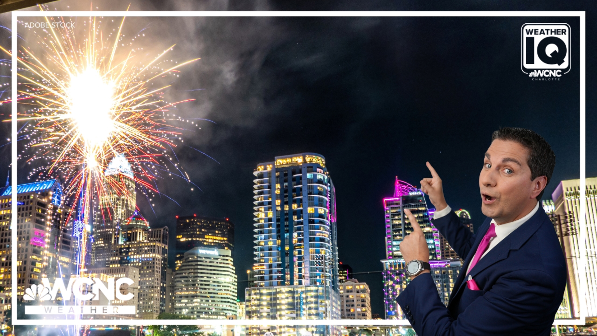
CHARLOTTE, N.C. — Who doesn't love a fireworks finale on the Fourth of July?
But have you noticed that sometimes the smoke doesn't clear after the explosions? Sometimes it will linger for minutes or even hours, leaving a thick fog in the air. And it's caused by what's happening above the bombs bursting in the air.
It's called an inversion.
The inversion
An inversion, or more technically a temperature inversion, per the National Weather Service is a layer in the atmosphere where air temperature increases with height.
A better simple definition is, "a layer of air that is warmer than the air here at the surface."
When there is no inversion, warm air can rise freely upwards since it is more buoyant than the colder air above. This is what typically happens during the day. But most commonly during the evening, air cools at the surface as warmer air rises creating a cap, which blocks and traps things like firework smoke. Which can sometimes linger for hours.
The warmer the air aloft, the longer the inversion can last.
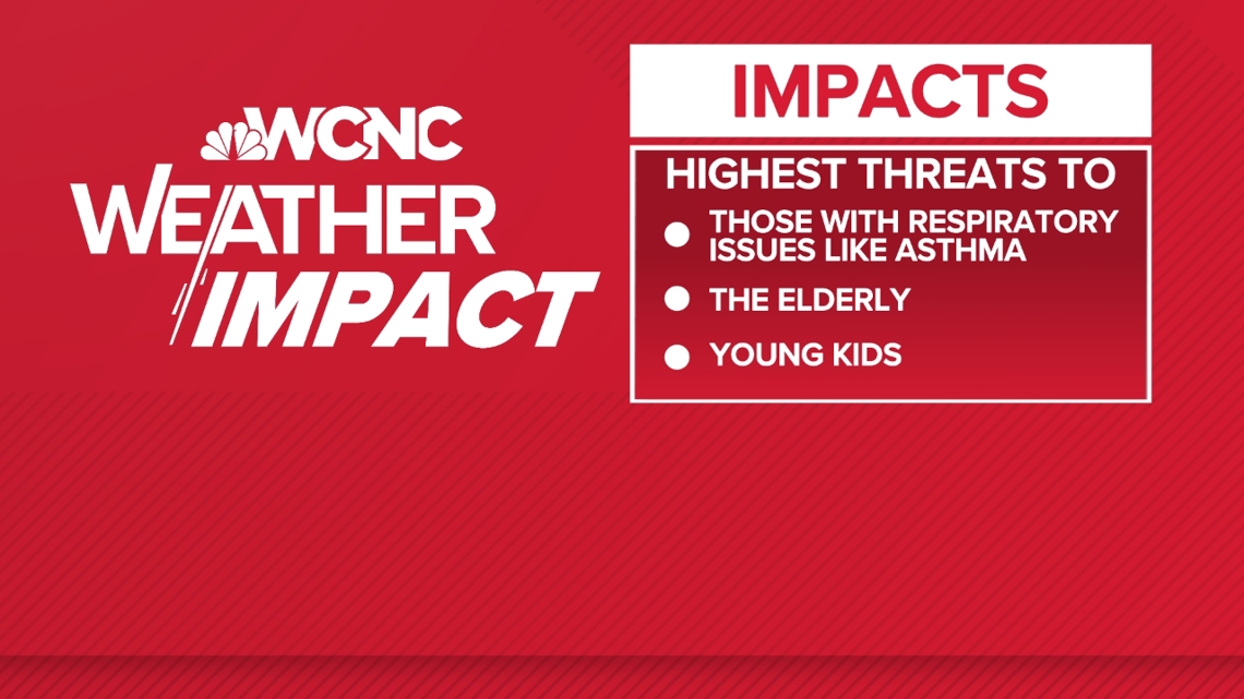
This can lower air quality, creating code orange conditions. A code orange air quality alert means it can be unhealthy for sensitive groups, including people with asthma, elderly adults and young kids.

What do they do?
Inversions can also trap pollution and greenhouse gases leading to air quality alerts.
Temperatures at 1,000-5,000 feet above us can be over 10 degrees warmer than the surface. This can amplify sound. Planes sound louder and the thunder from elevated thunderstorms can be alarmingly noisier than normal.
This inversion layer is also known as a CAP or capping inversion. If this is present during a humid afternoon, it can prevent thunderstorms from firing. But once the air becomes warmer than the environment it is rising into, the CAP breaks allowing storms to quickly develop.
During winter, this area of warm air is known as the WARM nose. This will melt or partially melt falling snow that depending on the temperature profile, can either refreeze into sleet or fall as supercooled droplets that can freeze once it hits the ground, also known as freezing rain.
Contact Chris Mulcahy at cmulcahy@wcnc.com and follow him on Facebook, X, Instagram and TikTok.
WCNC Charlotte’s Weather IQ YouTube channel gives detailed explainers from the WCNC Weather Impact Team meteorologists to help you learn and understand weather, climate and science. Watch previous stories where you can raise your Weather IQ in the YouTube playlist below and subscribe to get updated when new videos are uploaded.