CHARLOTTE, N.C. — In the spring, most people understand we have our severe weather season. The reason is not so much about the clash of temperatures from winter cold to summer warmth. The real culprit is the strong winter jetstream energy combined with the warm and humid air of spring and summer.
During the wintertime, the jetstream is farther south and just stronger than the summer. This strong flow or current of air in the atmosphere usually just causes windy weather and brings sin bought of cold air in during the winter.
When spring hits and we get warm and humid air near the surface we can create thunderstorms that reach highs into the atmosphere and tap into this energy.
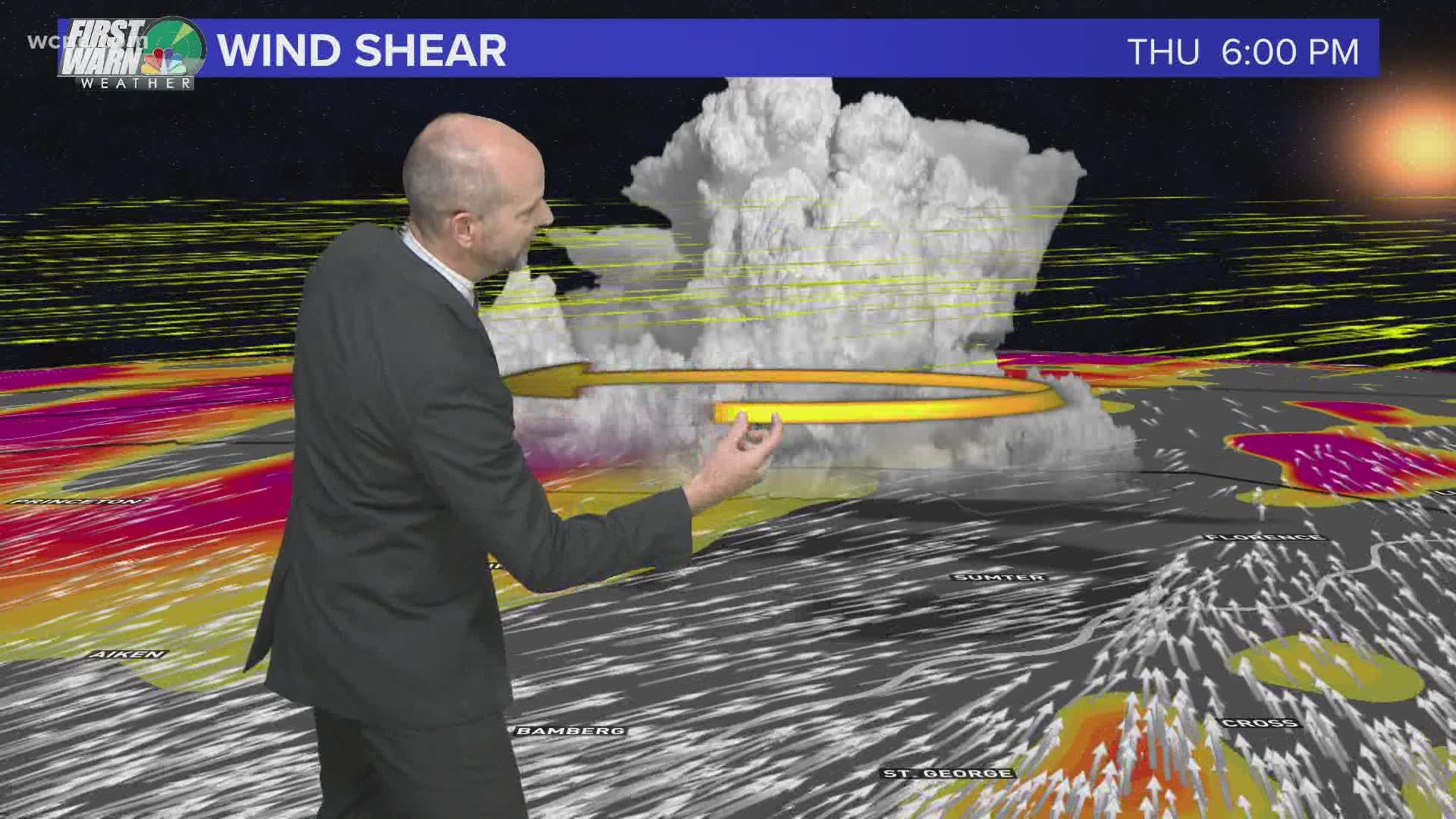
We call this change in wind speed and directing with height "wind shear".
This wind shear is around often but when storms can build from the surface to 30-50,000 feet into the sky they can tap into this wind shear. This wind shear can cause storms to rotate and become violent serve storms with large hail, damaging winds, lightning, and in some cases tornadoes.
The strongest of these storms are called Supercells, which are rotating storms. Their updraft rotates and drives the warm humid air high into the atmosphere. Once the air gets high enough it starts to cool rapidly and then wants to crash back to the surface as a downburst. When these downbursts and updrafts interact a tornado can form.
The stronger the wind shear, the more violent the tornado and winds can be.
This is why a day like Thursday is medium to high risk.
We have strong wind shear combined with warm and humid air moving in. Which sets the stage for the possibility of severe storms.

