CHARLOTTE, N.C. — The radar we can now all get on our phones or the one we use here in the weather center is a great tool to see what is coming our way and falling from the sky. However, what we see on the radar could be falling but not reaching us when it hits the ground. This is called virga.
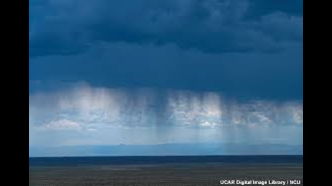
Virga is rain that evaporates before it hits us here on the ground. It could be raining a mile up in the atmosphere but that rain evaporates as it falls down through drier air. Below is an example of what virga looks like. The clouds are visibly darker like it is going to rain but the darker wisps are the rain bands that didn't quite make it through that dry air.


They can also have a curl to them as winds blow the bottom sideways.
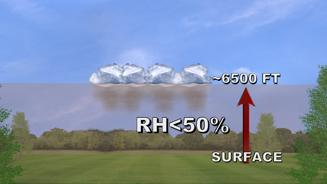
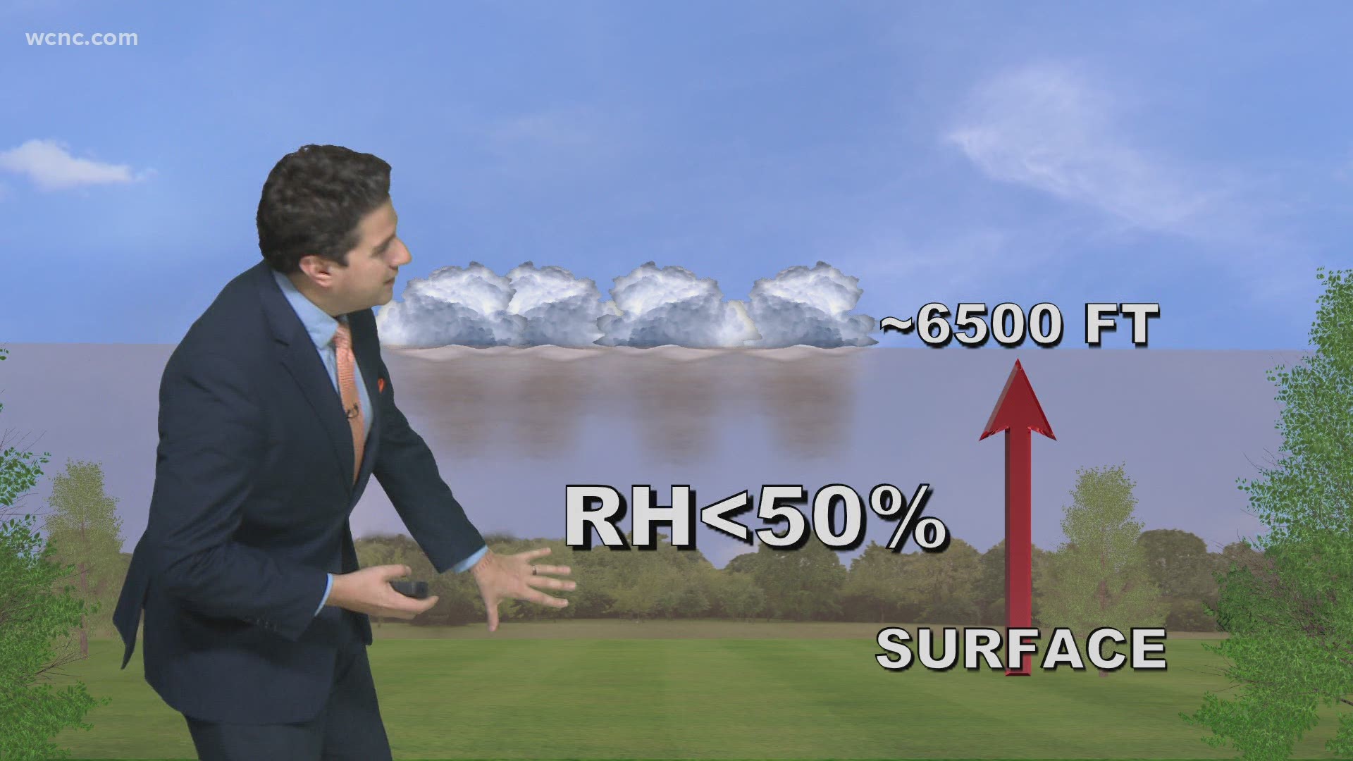
Typically a relative humidity is below 50% is too dry for the rain to fall. We will look to values at the surface and up to 6500 feet. The further below that number is below 50%, the less likely it is that rain will be hitting the ground.


However, as that rain evaporates it is cooling that column of air and releasing moisture back into the air which can eventually lead to rain but a display like the one above shows that at this time, it is too dry to rain.
A long dry spell, like we are currently here in March 2021 can increase the dryness and temperature which only lowers the relative humidity.
RELATED: FORECAST: The dry stretch continues

