

CHARLOTTE, N.C. — With tropical storm watches and warnings in place all over the Charlotte area, it was not surprising multiple tornado warnings were issued Wednesday evening and Thursday morning.
WCNC Charlotte live streamed all of these warnings. You can always stream WCNC Charlotte on Roku, Amazon Fire TV and Apple TV, just download the free app to get the news that impacts you.
It all started Wednesday evening when WCNC Weather Impact Chief Meteorologist Brad Panovich had "very high confidence" a tornado touched down in Burke County. The same storm that had a confirmed tornado in Rutherford County moved into Burke County just before 6 p.m. which meant the conditions were conducive for severe weather there.
Then, a tornado warning was issued late Wednesday night for Watauga County around 10 p.m. That expired about 30 minutes later.
It all ramped up again Thursday morning when multiple tornado warnings went into effect for several counties as a line of storms moved across the state. Around 9:30 a.m., a tornado warning was issued for Alexander, Catawba and Iredell counties. That expired about 15 minutes later.
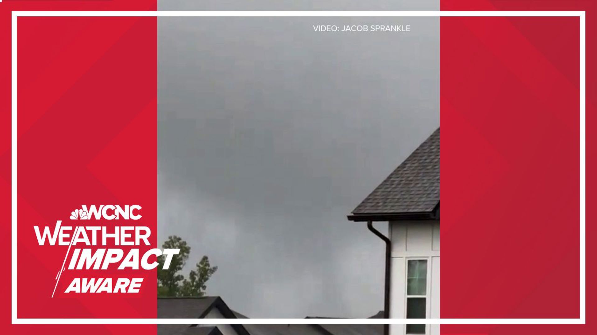
Just before 10 a.m., a tornado warning was issued for Gaston and Mecklenburg counties. That expired about 10 minutes later, but not before a brief tornado was spotted near the Steele Creek area of Charlotte.
Meteorologist Chris Mulcahy said these warnings were likely issued as a band of storms ahead of Hurricane Helene moves into the Charlotte region. Because Charlotte is on the "dirty" side of the hurricane, the northeast quadrant, the region is at risk for more spin-up tornadoes.
Heavy rain is likely across western North Carolina and South Carolina from late Thursday morning until Friday afternoon. Some areas in western North Carolina are expected to see well over a foot of rain as Helene brings torrential downpours to the Carolinas.
Helene is now a Category 2 hurricane with sustained 100 mph winds. The NHC reported gusts up to 115 mph as the storm entered the Gulf of Mexico with "significant additional strengthening" likely. This process is known as rapid intensification and could lead to catastrophic wind, storm surge and flooding on Florida's Gulf Coast as Helene makes landfall.
Tropical storm watches and warnings are in place, including portions of our viewing area. A Tropical Storm Warning is in effect for Mecklenburg, Union, York, Chester, Gaston, Lincoln, Catawba, Cleveland, Burke, Caldwell and Avery counties. Impacted cities and towns include Banner Elk, Shelby, Lenoir, Morganton, Hickory, Newton, Gastonia, Charlotte, Rock Hill, Fort Mill, Chester, Lincolnton, Monroe, Huntersville, Matthews, and Cheraw.
Additionally, a Flood Watch is in place for Alexander, Catawba, Cleveland, Lincoln, Avery, Burke, Caldwell, Ashe, and Watauga counties. This is due to significant flooding possible for the mountains and foothills especially, where there's potential for 5-10 inches of rain between now and Friday afternoon.