CHARLOTTE, N.C. — Update: The snow in North Carolina has ended and here is how much ice and snow was seen in the Carolinas after the winter storm.
Original story: A winter storm is expected to bring snow and ice to the North Carolina mountains and foothills, while the Charlotte area will mostly see heavy, cold rain through Sunday.
Winter Storm Warnings are in effect for Ashe, Avery, Burke, Caldwell and Watauga counties through Sunday. A Winter Weather Advisory is in effect for Catawba, Cleveland, Iredell, Lincoln and Rowan counties through noon Sunday.
First Warn meteorologist Iisha Scott said up to 5 inches of snow is possible in the mountains, with the potential for a quarter-inch of ice on top of that. By Sunday afternoon, any winter precipitation should change over to cold rain across the WCNC Charlotte area.
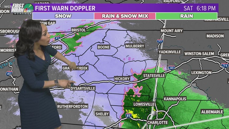
By 6:30 p.m. Saturday, reports were coming in of sleet across the foothills, and some areas just outside Charlotte. First Warn meteorologist Chris Mulcahy observed some sleet in northwest Charlotte during the first shot of precipitation Saturday evening.
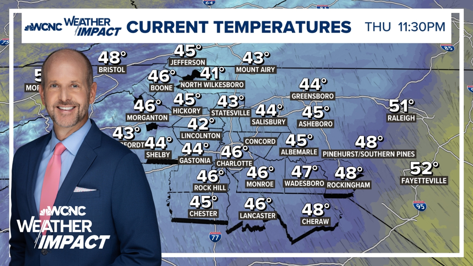
Scott said it wouldn't be a surprise for some areas to see a little snow and sleet mixed in with the rain. No accumulation is expected in most areas due to temperatures being above freezing at ground level.
"Across most of the Piedmont it's just a chilly, light rain," Scott said. "From Charlotte all the way south down to parts of Chesterfield County."
The second batch will move in overnight, around 3 a.m. in the mountains. Snow will develop in the high country before transitioning to ice by around 7 o'clock. Freezing rain is possible in the mountains and foothills, too, with a heavy, cold rain closer to the Charlotte metro.
RELATED: Winter is almost half way done!


